News
Central Florida Faces Cooler Temperatures Amid Windy Conditions
ORLANDO, Fla. — Central Florida is experiencing a significant drop in temperatures this Monday morning, following a series of thunderstorms over the weekend. The forecast indicates a much cooler day, with highs expected only in the 60s.
The storms that swept through yesterday have mostly cleared, leaving behind a few light showers early this morning. As the day progresses, sunny conditions will prevail. However, strong winds, with gusts reaching up to 30 mph, have prompted a Red Flag Warning for the area, which is effective from noon until 8 p.m.
According to meteorologists, the combination of low humidity and dry vegetation could heighten the risk of fire spreads today. “Gusty winds, combined with low humidity, create perfect conditions for wildfires to ignite quickly,” said Kellianne Klass, a meteorologist for WESH 2. “Residents need to remain cautious, especially outdoors during the warning period.”
This afternoon’s temperatures are projected to peak around 71 degrees in Melbourne and 73 in Palm Bay. Despite the cooler weather, it will be a comfortable day for outdoor activities due to the plentiful sunshine, although a jacket may be advisable for those sensitive to cooler conditions.
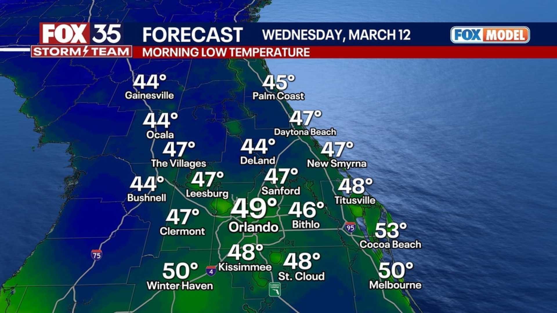
Looking ahead, temperatures will dip into the 40s overnight. Tuesday is expected to bring milder weather with highs in the 70s, followed by a warm-up to the mid-80s by Wednesday.
A slight chance of isolated showers is anticipated on Thursday, coinciding with the arrival of another cold front, which is expected to lower temperatures to the lower 70s by Friday. Following that, forecasts indicate a return to warmer weather over the weekend.
Residents can stay informed about the evolving weather conditions by following updates from local meteorologists and utilizing the WESH 2 News app for real-time alerts.


