News
Cleveland Faces Stormy Weekend After Unseasonable Warmth
CLEVELAND, Ohio (WOIO) – A cold front is set to move through Cleveland, bringing stormy weather by the weekend’s end. Following an unusually warm Saturday where temperatures reached 80 degrees, residents can expect significant changes starting Sunday.
Saturday’s warmth is a departure from the typical October weather, which usually sees highs of 80 degrees around the 4th. This late warm spell is likely to mark the last 80-degree day of 2025. Forecasters suggest that the heat will fuel thunderstorms as the weekend progresses.
Rain and possible strong storms are expected on Sunday, particularly between 10 a.m. and 2 p.m. This timing is crucial as it may allow for the Cleveland Browns game to avoid the worst weather conditions. However, wind gusts between 40 to 50 mph are anticipated throughout the day, which may still pose challenges for tailgaters and fans attending the game.
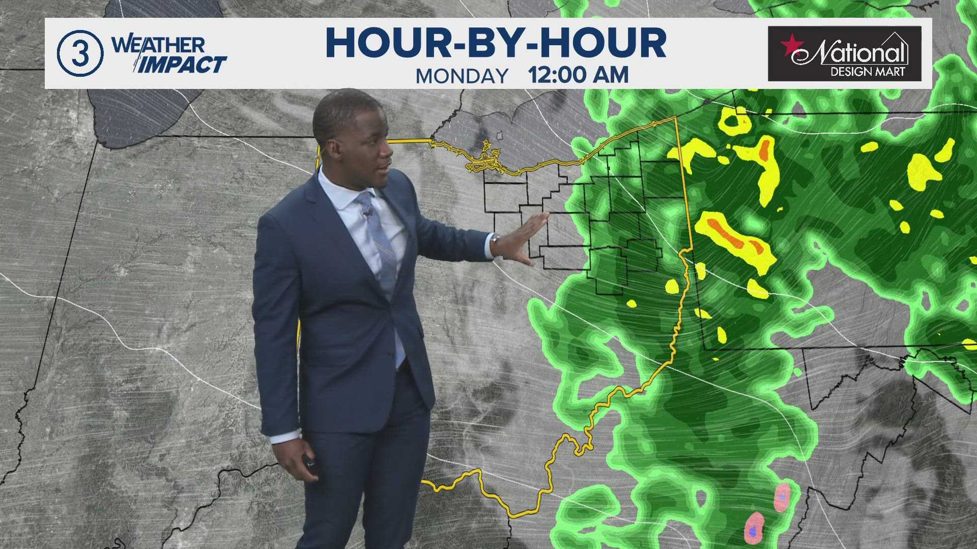
As the storms roll in, ongoing showers are expected into Sunday night, further dropping temperatures. Monday’s forecast indicates cooler weather, with highs only reaching around 59 degrees.
For the rest of the week, chances of rain will continue, particularly on Tuesday and Wednesday, with highs only peaking at 55 degrees. Residents are advised to prepare for a notable drop in temperatures, marking the onset of autumn in earnest.


