News
Coastal Clouds and Rain Forecast for Central Coast This Weekend
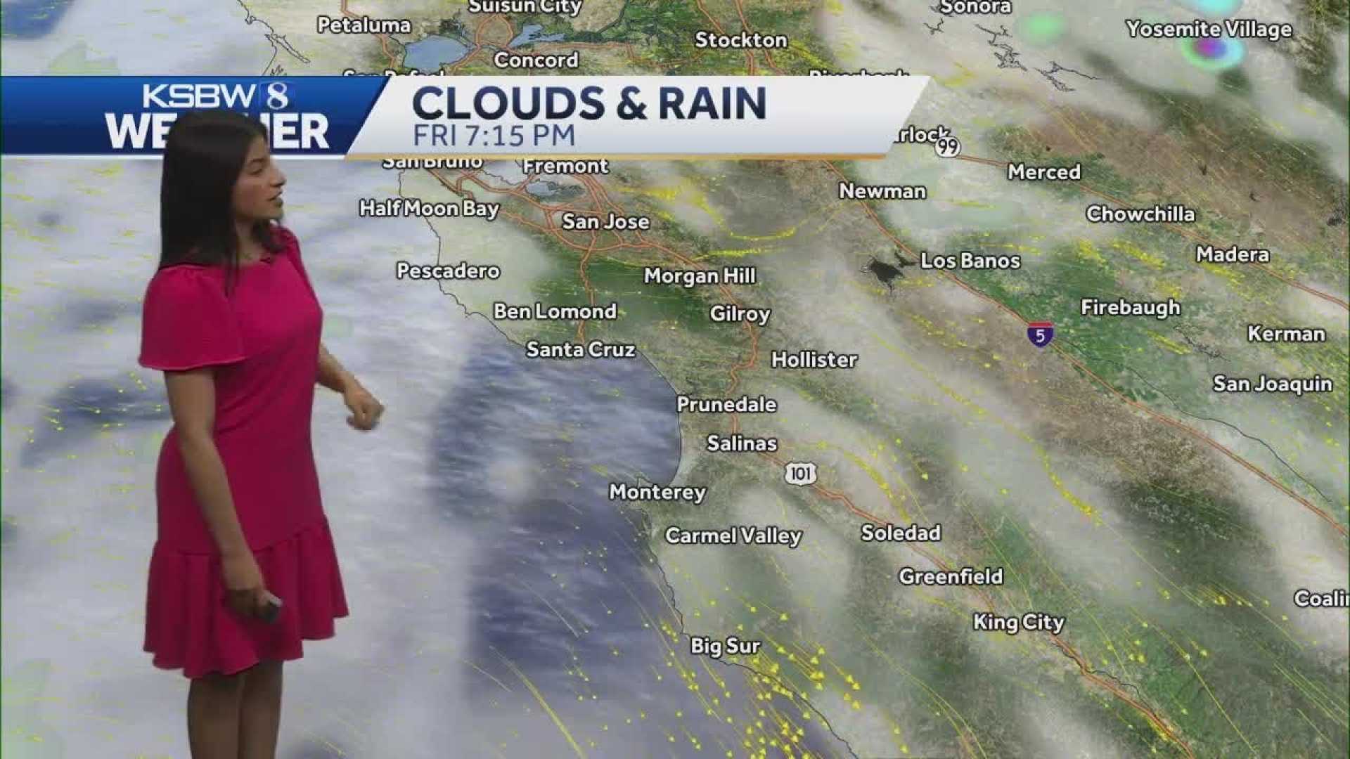
San Luis Obispo, California – The Central Coast is experiencing increased cloud cover and breezy conditions, with temperatures expected to cool over the coming days. Nighttime low clouds, fog, and light drizzle are anticipated along the coast through Friday.
The weather is being influenced by a low-pressure system off the Pacific Northwest coast. While San Luis Obispo County may see some light rain, the main impacts of this system will be felt in northern California, Oregon, and Washington. As the system moves toward the U.S.-Canada border by Saturday, it is expected to weaken.
Widespread measurable drizzle was reported early this morning, contributing to cooler temperatures under the low clouds. Most coastal areas were devoid of sunshine throughout the day. Meanwhile, Southern California will experience broad weak troughing as the strong low-pressure system continues to influence the region.
High temperatures throughout the Central Coast are forecasted to remain in the 60s, with some areas potentially reaching 70 degrees. A dying frontal system may introduce slight chances of rain to northwestern San Luis Obispo County from late Wednesday night into Thursday morning, bringing potential accumulations of 0.05-0.25 inches in regions such as Cambria and Rocky Butte.
Afternoon breezy conditions are expected along the coast due to strong onshore pressure gradients, particularly from Wednesday through Friday. Nighttime marine layer clouds and drizzle will likely persist into tomorrow morning.
Looking to Saturday, temperatures are expected to mirror those of Friday, primarily remaining in the 60s. From Sunday through Wednesday, meteorologists forecast a more zonal upper-level pattern, which may lead to cooler temperatures along the coasts and valleys as onshore flow increases.
Starting Sunday, a storm system is projected to move into the area, with rain most likely north of Point Conception. The timing and intensity of rainfall are contingent on the storm’s path, with some weather models predicting significant accumulations. Local forecasters will closely monitor conditions from Monday through Wednesday, as certain models suggest that it could become quite wet in the region.


