News
Cold Front Brings Comfortable Temperatures to South Florida
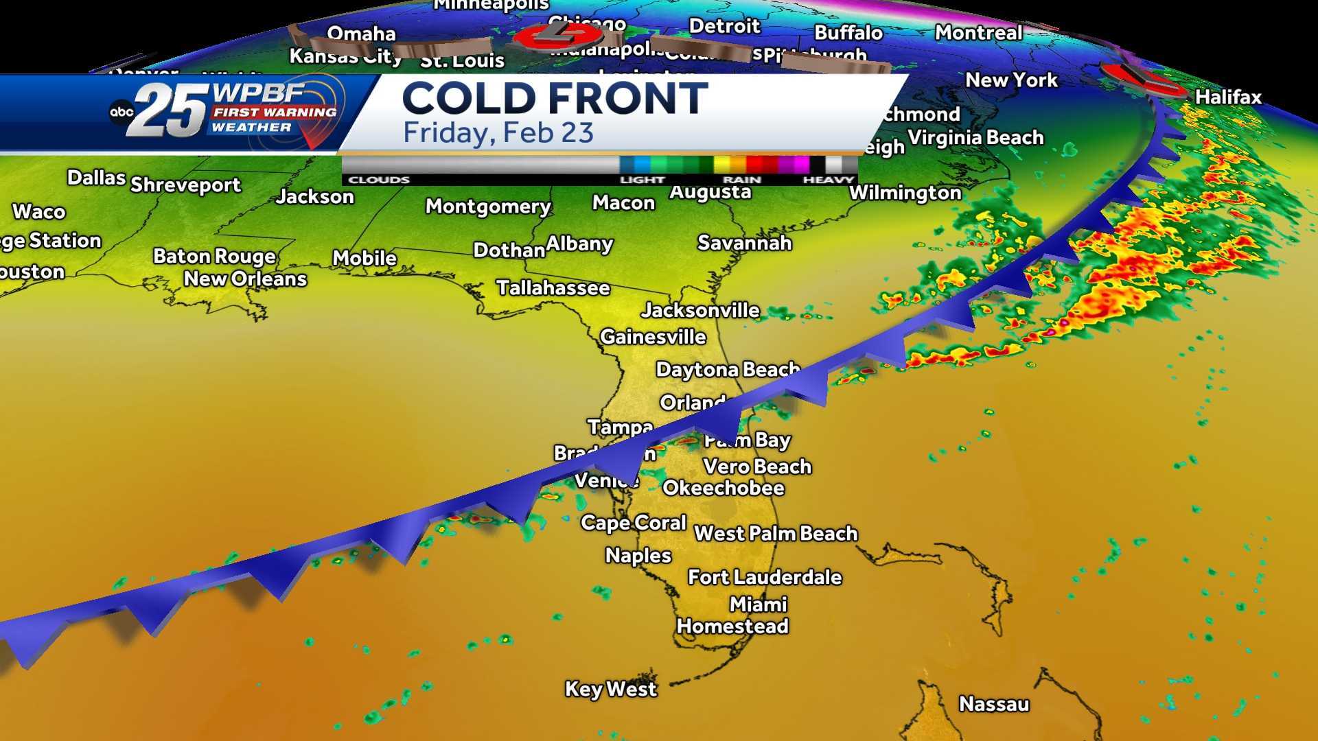
WEST PALM BEACH, Fla. — A cold front is expected to sweep through South Florida overnight, bringing cooler, less humid air by Monday afternoon, weather officials report. High temperatures are anticipated to range from the lower 70s along the Treasure Coast to the mid-upper 70s in the Palm Beaches, finally aligning with seasonal norms.
The front is set to stall just south of the region, resulting in lingering cloud cover for Monday and Tuesday. Meteorologists indicate that skies will be mostly to partly sunny, with areas further north likely to experience more sunshine. Tuesday’s temperatures are expected to trend slightly warmer, approaching the 80-degree mark, though isolated showers may occur.
As the week progresses, warmer temperatures will return, with highs in the lower 80s and minimal rain chances on Wednesday. This warm pattern is forecasted to persist into Thursday, when another cold front is predicted to move southward, bringing temperatures back to seasonal levels in the 70s by Friday.
The upcoming weekend is expected to remain mild, with temperatures hovering in the upper 70s to lower 80s. However, forecasters warn that rain chances may increase on Saturday as another weather system approaches, leading to a possibility of more showers on Sunday.
Local residents are advised to stay tuned to weather updates as shifting patterns could impact weekend plans. Meteorologist teams at WPTV continue to monitor these changes closely.


