News
Cold Front Hits Tampa Bay, Record Low Temperatures Expected
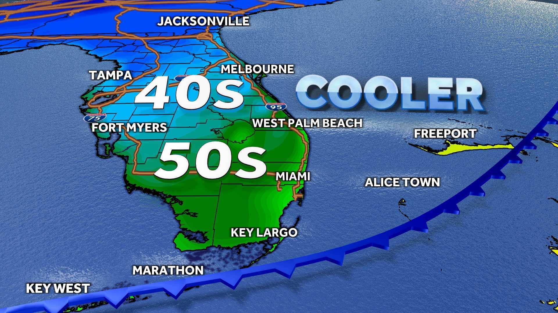
TAMPA, Fla. — A strong cold front is set to bring significantly lower temperatures to the Tampa Bay area starting late Sunday and into Monday morning. Meteorologist Greg Dee reports that this cold front will lead to the coldest conditions experienced so far this season.
Scattered showers are possible on Sunday as the front approaches, but they are expected to clear by mid-morning on Monday. The winds will shift to the northwest, with gusts reaching over 30 mph during the day. Monday’s high temperatures are forecasted to remain in the 60s, a stark contrast to the warm weather typically experienced in early November.
On Tuesday morning, temperatures are anticipated to drop to near record lows, around 40 degrees in Tampa, with wind chills making it feel even colder, likely in the low 30s. Areas north of Tampa could experience temperatures in the 30s, with some parts of Citrus and Hernando counties potentially nearing freezing.
The Weather Impact Alert issued by the 10 Tampa Bay Weather Team underscores the importance of preparing for these drastic changes. Cold weather shelters will open for those in need on Monday and Tuesday nights as temperatures remain chilly through Wednesday morning.
Tuesday afternoon is expected to bring some relief with clear skies and highs around 60 degrees. However, the cool temperatures will linger into Wednesday morning before the region warms back to normal by midweek, with expected highs in the 70s for the remainder of the week.


