News
Cold Front Sparks Severe Weather Threat Across Midwest
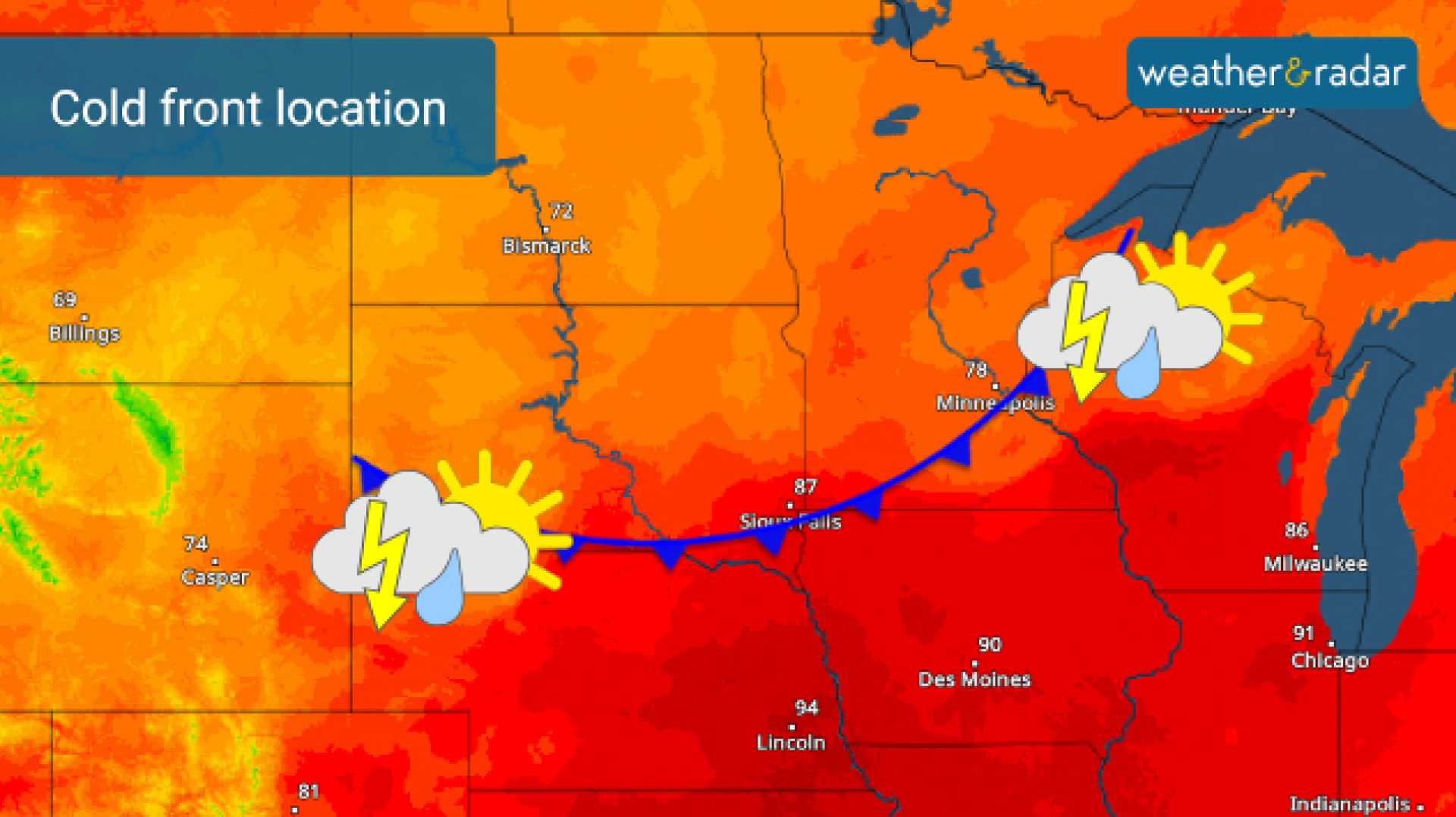
KALAMAZOO, Mich. – A strong cold front moving across the Midwest is raising alarms for scattered severe weather today, with potential gusty winds, large hail, and brief tornadoes.
The National Weather Service has issued a Level 2 out of 5 severe weather risk for counties bordering Lake Michigan, while much of the rest of the state has been downgraded to a Level 1 out of 5. As of mid-morning, strong storms caused heavy rain, small hail, and frequent lightning.
The cold front is expected to bring another round of intense weather this evening, potentially featuring additional heavy rain, strong winds, and large hail. Although the likelihood of an isolated tornado remains low, it cannot be ruled out.
The severe weather risk spans a wide area from Michigan down to Texas, as the atmospheric conditions align for potential storms. Meteorological factors such as wind shear, atmospheric lift, energy from warm temperatures, and moisture contribute to the current risk. Damaging winds, brief tornadoes, and hail are all on the table.
“It’s crucial to stay updated on the forecast, as conditions can change rapidly,” warned meteorologist Dan Jones. “We recommend checking the forecast at least once a day to remain informed.”
Storm models indicate that initial storms could form around noon, likely limiting the severe development later in the evening by consuming some of the atmospheric energy. Most areas are expected to remain dry during the late afternoon.
The cold front is projected to move into West Michigan late tonight, generating strong storms between 10 PM and 2 AM. However, since these storms will occur after sunset, the diminished solar energy may result in less severe weather compared to daytime storms.
The earlier storms may also stabilize the atmosphere, reducing the potential energy available for the evening’s storms. Still, threats of damaging wind gusts and quarter-sized hail remain significant, along with the slight risk of brief tornadoes.
After the front passes through, scattered showers on the back side are expected to taper off by Saturday morning.
For the latest weather updates in West Michigan, check local forecasts regularly.


