News
Cooler Weather Hits San Diego County with Wind Advisory
San Diego, California – Cooler weather is on the way for San Diego County this week. Starting Monday, forecasters predict gusty winds and possible light rain across areas from the coast to the mountains, according to the National Weather Service (NWS).
A wind advisory will remain in effect from 5 a.m. Monday until at least 5 a.m. Wednesday, covering the county’s deserts and mountains. Peak gusts are expected to reach between 45 and 55 mph, especially on desert-mountain slopes and through passes.
Tuesday is expected to be the coolest day of the week, with temperatures 5 to 10 degrees below the seasonal average at the coast, and 10 to 15 degrees cooler from the valleys to the deserts. Conditions will be partly cloudy in mountain areas, with patchy fog in the mornings.
On Monday, temperatures in downtown San Diego are expected to reach a high of around 68 degrees with mostly sunny conditions. The overnight low is predicted to be near 57 degrees. Tuesday’s surf forecast shows a high-risk rip current, surf heights between 3 and 5 feet.
Additionally, a small craft advisory is in effect from 2 a.m. Monday until at least 11 p.m. Tuesday. This advisory encompasses waters from San Mateo Point to the Mexican border, extending 10 to 60 nautical miles out. Marine forecasters anticipate northwest winds strengthening throughout Monday and Tuesday, with sustained winds between 15 to 20 knots.
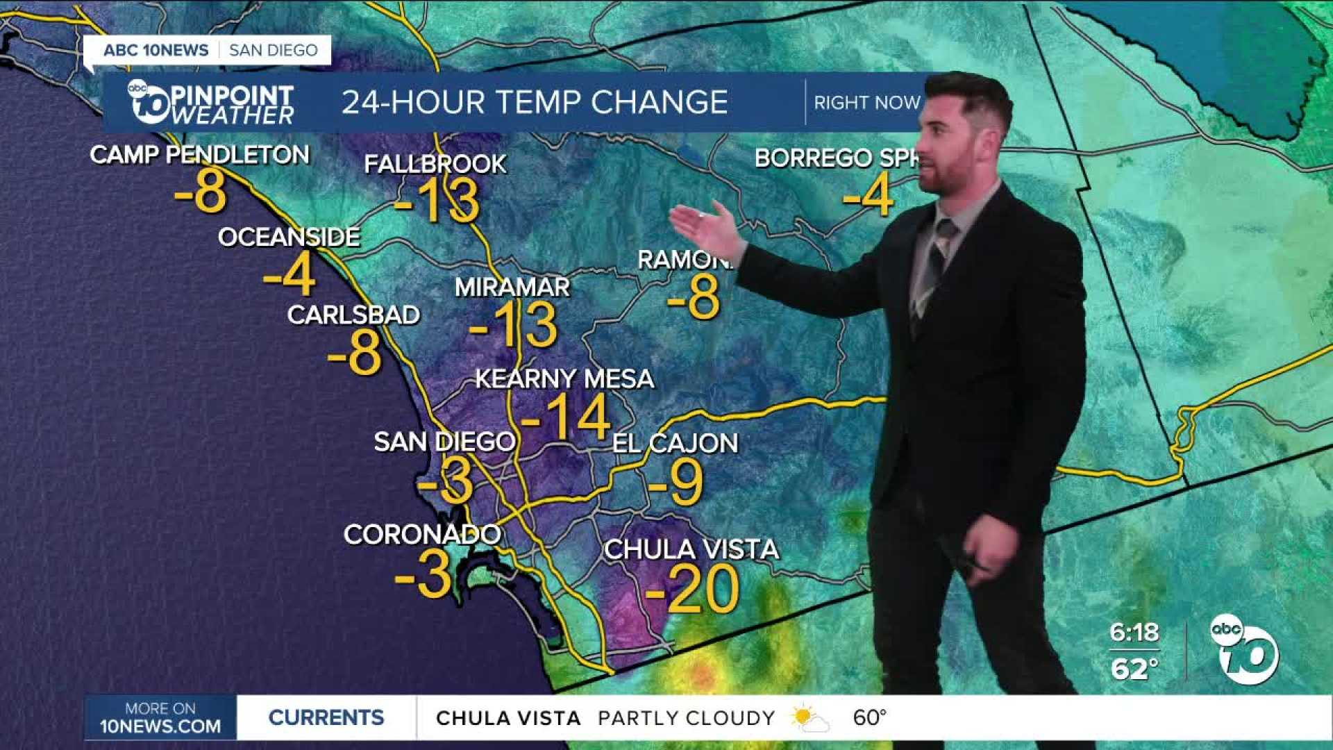
The NWS reported that temperatures will feel more tolerable, with inland valleys seeing highs 20 to 25 degrees cooler than the previous weekend.
By Wednesday, the low-pressure system bringing the cooler conditions will weaken, allowing slightly warmer temperatures to return. Another possibility of rain may arrive by the weekend.


