News
Evacuation Warnings Issued as Southern California Braces for Major Storm
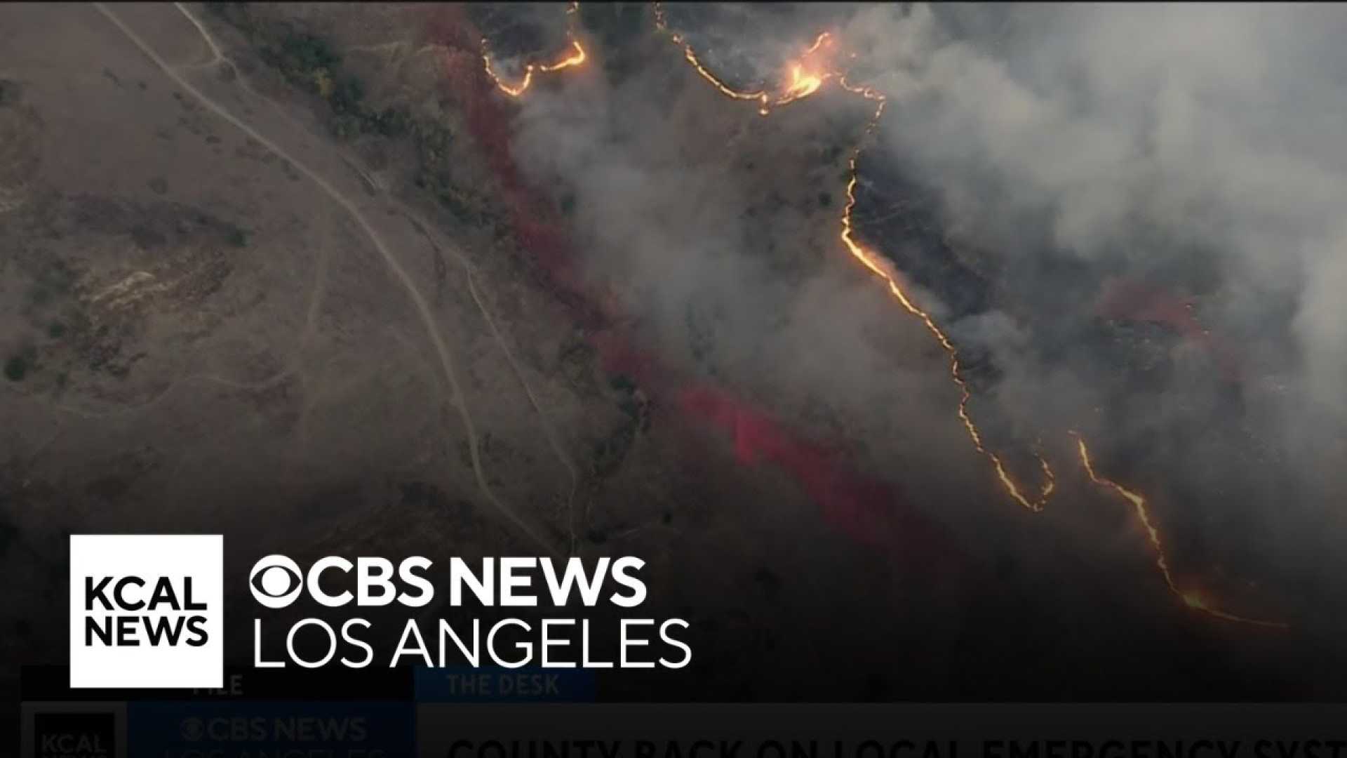
Los Angeles, California — Evacuation warnings are in effect across parts of Los Angeles County as a powerful storm is poised to deliver heavy rains, increasing the risk of mudslides and debris flows in areas affected by recent wildfires. The intense rainfall is forecasted to begin Thursday afternoon and could last into early Friday.
With the highest risk for debris flows occurring from 7 a.m. Thursday to 2 p.m. Friday, officials are urging residents in burn zones, including the Pacific Palisades and Eaton fire areas, to heed evacuation orders. According to the Los Angeles Fire Department, the evacuation warnings cover several neighborhoods within the burn scars.
“This great event presents a higher risk to our residents,” said Mark Pestrella, Los Angeles County Public Works Director, during a press conference. “Particularly those that are living within the burn scars.”
The anticipated storm is described as the most significant of the winter and is part of a series of winter storms affecting Southern California. Meteorologists are warning that over the three-day storm period, the Palisades area could receive between 3 and 4 inches of rain, while the Eaton and Bridge burn scars may see upwards of 5 inches.
The rain, arriving in waves, is expected to create hazardous conditions, particularly in regions that have recently experienced wildfires. Areas such as the Getty Villa neighborhoods and Mandeville Canyon are particularly at risk, with local officials having already deployed sandbags and other flood control measures.
Evacuations were already underway in anticipation of the storm, with the Santa Monica-Malibu Unified School District announcing that all Malibu campuses would close Thursday due to road closures and weather concerns. Additional volunteers and local fire departments are on standby to assist in evacuations.
“Staying on high alert for this extended period of time is challenging,” Los Angeles County Supervisor Lindsey Horvath said. “Stay with us, stay informed.”
The danger is not confined to areas recently scorched by wildfires; broader regions of Los Angeles County are under flood watches, with urban flooding a concern as well. Rainfall rates may reach up to 1 inch per hour in some areas.
Residents in communities like Highland, Wrightwood, and Mt. Baldy are advised to prepare for potential evacuation and stay informed about further updates. The flood watch will cover much of Southern California from Thursday morning through Thursday night, heightening the urgency for those living in vulnerable areas.
“With our burn scars, intensity trumps total accumulations,” said Ryan Kittell, a meteorologist with the National Weather Service’s Oxnard office. “It’s not how much rain falls over a long period, but how much falls in a short time.”
The anticipated heavy rain also poses additional threats, including downed trees and power lines. Earlier preparations included cleaning and fortifying debris basins designed to intercept mudflows; however, officials highlighted that the potential for debris flows remains significant.
“Given the elevated chances for significant debris flows, now is the time to start getting prepared for these potentially dangerous conditions,” Kittell added.
For residents of Los Angeles, Orange, San Bernardino, and surrounding counties, emergency services have urged families to prepare go-bags, identify safe locations, and remain ready to evacuate if needed as the storm approaches.


