News
Flash Flood Warning and Tornado Alerts Hit Kansas City Area
KANSAS CITY, Mo. — A severe weather situation is unfolding in the Kansas City area this afternoon, prompting serious concerns for residents. A Flash Flood Warning has been issued, alongside multiple tornado warnings as storms approach.
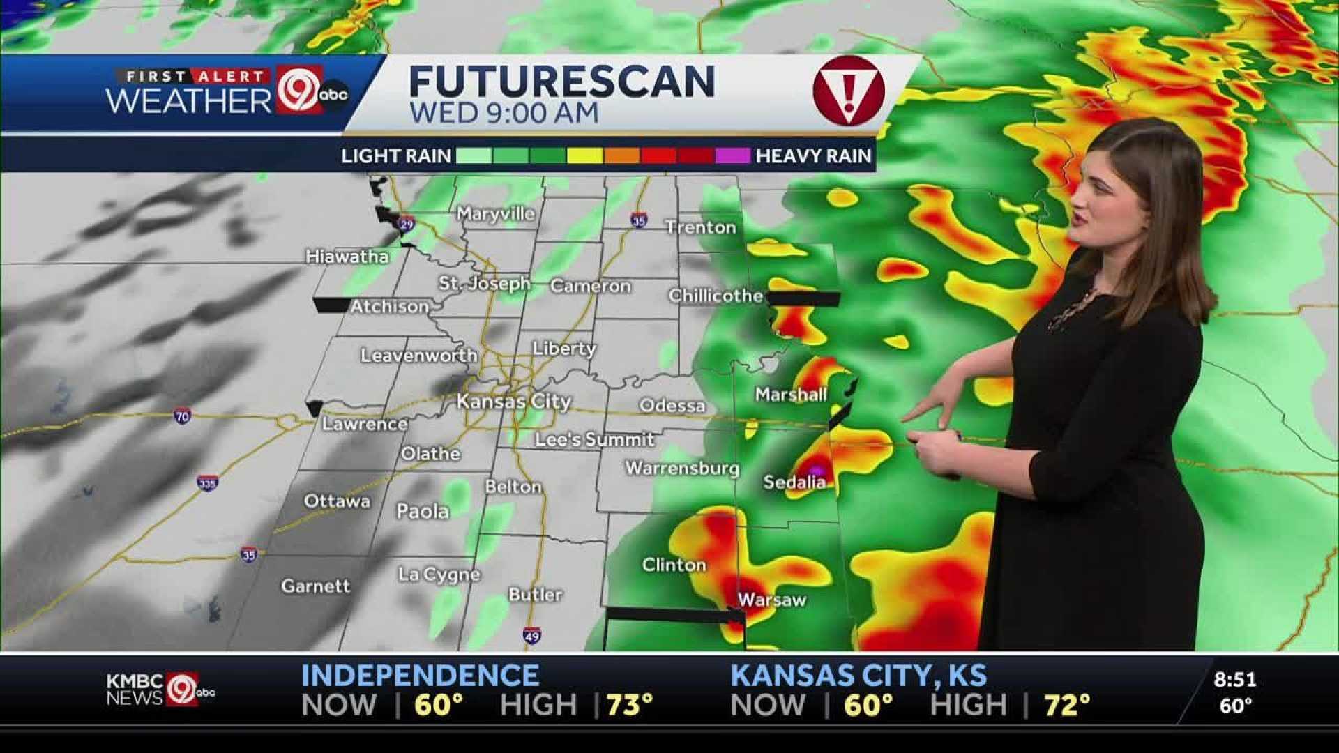
The National Weather Service reports that the line of storms could produce rainfall ranging from 1 to 3 inches within just an hour. This flood warning is set to remain in effect through Tuesday evening. As the system intensifies, the risk of tornado activity has increased due to embedded circulations moving through the metro region.
As of 2:24 p.m., a Tornado Warning has been activated for Ray, Lafayette, Clay, and Jackson Counties in Missouri, effective until 3 p.m. Further updates at 2:17 p.m. confirmed a Flash Flood Warning for parts of Wyandotte, Miami, Johnson, and Leavenworth Counties in Kansas, and several Missouri counties until 7 p.m.
In addition to these warnings, a Severe Thunderstorm Warning was issued for various counties, including Wyandotte and Johnson in Kansas, along with Jackson and Lafayette in Missouri until 3 p.m. This situation is complicated by the possibility of damaging straight-line winds.
This afternoon, severe storms are predicted between 2 p.m. and 7 p.m., leading to fears of flash flooding and significant wind gusts. The severe risk may be compounded by the heightened wind shear expected later in the afternoon, which could enhance tornado conditions, especially south of a line stretching from Butler to Sedalia.
The potential for widespread rainfall amounts of 1 to 3 inches raises alarms for flash flooding, and certain areas in central Missouri may accumulate up to 4 inches by nightfall. Local authorities warn of possible street flooding and rapid rises in streams and rivers over the next couple of days.
Residents are advised to remain alert and take precautions as the weather conditions develop.


