News
Heavy Rain, Flooding Threat Looms Over New Orleans This Week
NEW ORLEANS, La. — A large, slow-moving storm system is set to bring significant rainfall and a heightened threat of flooding to the Southeast Louisiana region, including New Orleans, starting Tuesday evening. The National Weather Service (NWS) has issued a Flood Watch that will take effect at 7 p.m. Tuesday and last until 7 p.m. Thursday.
As clouds thicken overnight, morning temperatures are expected to be in the 60s on the Northshore and around 70 degrees in New Orleans. While isolated showers may occur during the day Tuesday, forecasters indicate that the most severe weather will begin late Tuesday night into Wednesday morning.
“The greatest risk for flooding will begin after 7 p.m. Tuesday,” said a meteorologist from the WDSU weather team. “This storm system could drop several inches of rain, raising concerns for flash flooding in low-lying areas.”
The NWS has classified the flooding risk in New Orleans as a level 3 out of 4, meaning considerable rainfall is likely. Temperature highs on Tuesday could reach 82 to 83 degrees before the rain intensifies later in the evening.
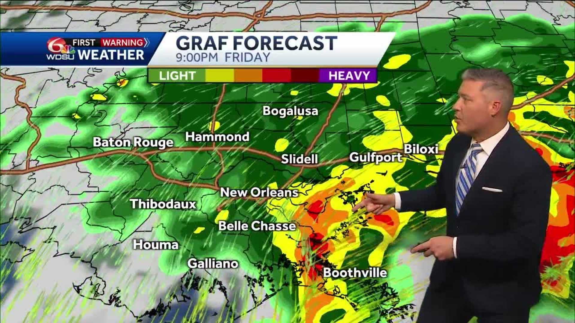
Forecasts predict that rainfall totals could reach between 4 to 6 inches across much of Southeast Louisiana, with isolated areas possibly seeing up to 8 or 10 inches by Thursday. Accurate tracking from the Weather Prediction Center indicates that flooding is a significant concern over the next few days, especially in areas along and south of Interstate 10.
More storms and heavy rain are expected to persist through Thursday, with scattered thunderstorms possible into the weekend. Meteorologists advise residents to remain vigilant and prepare for potential high water rescues as conditions develop. “It’s crucial to stay safe and dry,” the forecaster emphasized.
As the situation evolves, local officials are monitoring river and bayou levels, keeping the public informed about the ongoing risks associated with this severe weather event.


