News
Heavy Rain and Storms Expected to Impact New York Area Through Tuesday
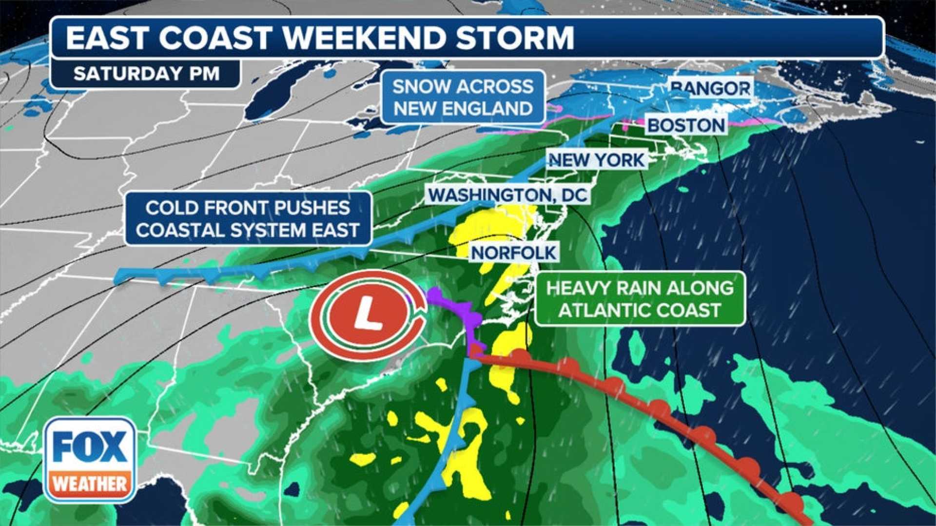
NEW YORK – As heavy rain and strong winds move into the area, New Yorkers are bracing for a turbulent weather forecast that will last through Tuesday. An area of low pressure over the Ohio Valley is expected to deliver rounds of showers and thunderstorms, with rain potentially totaling 4 inches in some locations.
A First Alert Weather Day was issued for Monday, as rainfall in the region has already reached levels of up to 3 inches in many areas, raising concerns for localized flooding. Meteorologists predict additional heavy rainfall Monday night into Tuesday, though rain activity may ease by midweek.
“This type of weather pattern brings long-duration rain events, and we expect scattered downpours to continue throughout the week,” said Jane Minar, a meteorologist with FOX Weather. Areas notably at risk for severe storms include the Catskills and Poconos regions.
The current rainfall is significant enough to potentially alleviate drought conditions that have plagued parts of the Tri-State Area, providing much-needed moisture to local farmers and ecosystems.
Forecasts indicate that temperatures will drop into the 60s and 70s over the coming days, marking a transition to more seasonal temperatures. Residents should prepare for hazardous conditions, particularly during the evening rush hour, as rain coincides with heavy traffic.
Authorities have advised residents to stay vigilant for updates on flooding and severe weather advisories. Flash flood warnings have already been issued across multiple locations, with past weather reports of downed trees and power lines.
Weather experts expect the stormy conditions to finally ease by the end of the week, providing relief from the recent rainfall. For now, New Yorkers are encouraged to remain informed and to take precautions against potential flooding.


