News
Heavy Snow Hits Utah Mountains, Winter Storm Warning Issued
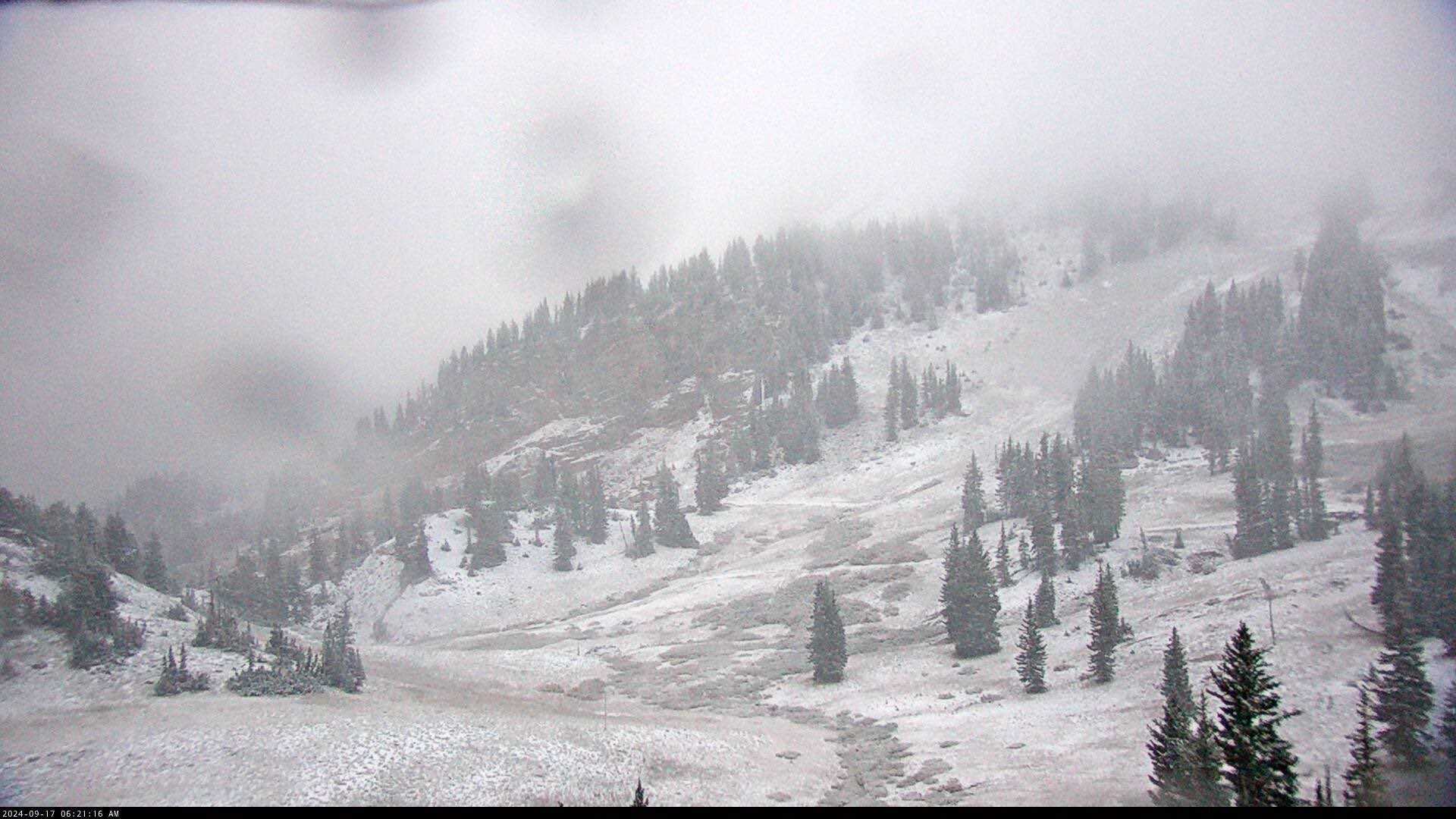
SALT LAKE CITY, Utah — A significant winter storm swept through Utah overnight, bringing heavy snowfall to the mountainous regions and substantial accumulation in the valleys. The National Weather Service (NWS) issued a Winter Storm Warning for the Salt Lake Valley at midnight, which will remain in effect until 6 p.m. Tuesday.
Initially, forecasts predicted 2 to 6 inches of snow for valley floors and 6 to 12 inches along the benches. However, those projections may be revised downward as the day unfolds, with many valleys currently experiencing mostly rainy and wet conditions while snow continues to accumulate in the mountains.
The Winter Storm Warning also applies to the Wasatch Mountains south of Interstate 80, effective from 9 p.m. Monday until 6 a.m. Wednesday. Most mountain areas are expected to receive up to 12 inches of snow, while areas in the Cottonwood Canyons could see totals exceeding two feet.
According to the latest NWS updates, valley snowfall totals are being closely monitored. Drivers have reported minimal disruptions despite the weather, as many experienced only rainy conditions on the roads. However, traction laws have been enacted for certain mountain routes, including both Cottonwood Canyons. Additionally, State Route 210 in Little Cottonwood Canyon will be closed for avalanche mitigation starting at 1 p.m.
By 9 a.m., Salt Lake City International Airport noted only minor delays attributed to the weather, with most flights experiencing departures approximately 25 minutes behind schedule due to necessary deicing procedures.
Authorities advise residents to stay tuned for updates, as the Winter Storm Warning may be extended into Tuesday afternoon if the lake effect snow continues.


