News
High Winds and Red Flag Warnings Forecast in New Mexico
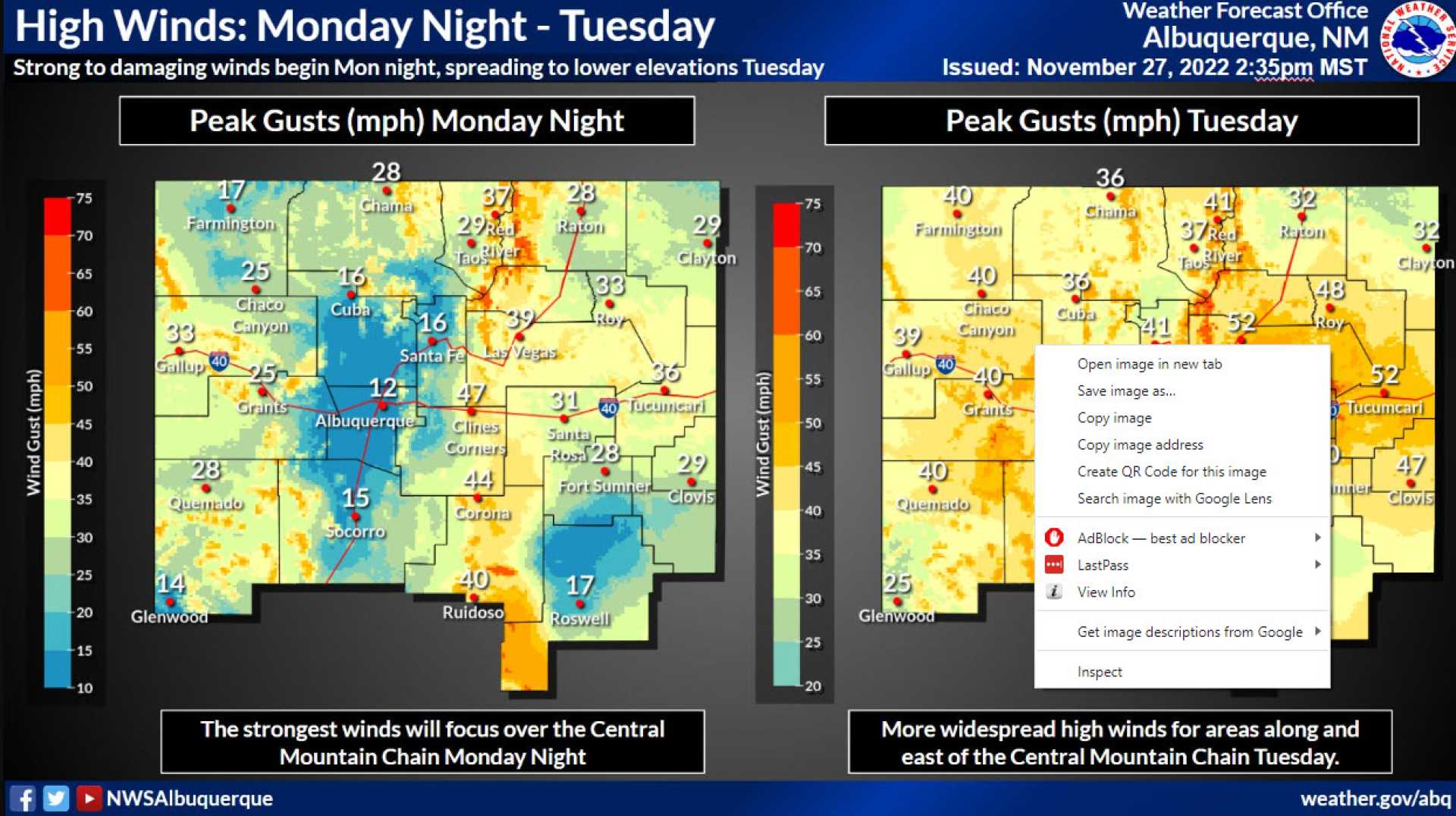
ALBUQUERQUE, N.M. — Residents in New Mexico are bracing for back-to-back strong wind days with high wind warnings and red flag warnings in effect. The National Weather Service announced that gusts could reach up to 60 miles per hour in certain areas.
The weather system is expected to bring peak gusts of 40 to 50 mph, particularly in eastern and southern New Mexico. This includes areas such as Albuquerque, where residents are warned about critically dangerous fire conditions due to the dry weather.
The winds will start to pick up today, with gusts anticipated to intensify in the afternoon. Expect the strongest winds to occur around 4 PM, with conditions remaining gusty even after sunset, dropping past 7 PM.
Meteorologists predict only a slight dip in temperatures following the storm system. Highs will reach the 70s and 80s today, with only minor temperature decreases on Wednesday. While the central and northwestern parts of the state will see temperatures fall to the 60s, New Mexico as a whole will remain warm.
Forecasters also indicated that even though the winds are dialed back slightly on Thursday, gusts could still reach 30 mph, particularly in eastern New Mexico.
This sequence of strong winds raises concern for increased fire danger across the region. Red flag warnings will remain in effect, with warnings likely extending into Albuquerque. Residents are advised to take precautions.
As the week progresses, another surge of strong wind is anticipated by Sunday. Residents are encouraged to remain updated on weather conditions, as these developments can change.


