News
Hurricane Kirk Strengthens in Atlantic While Storms Develop in Gulf

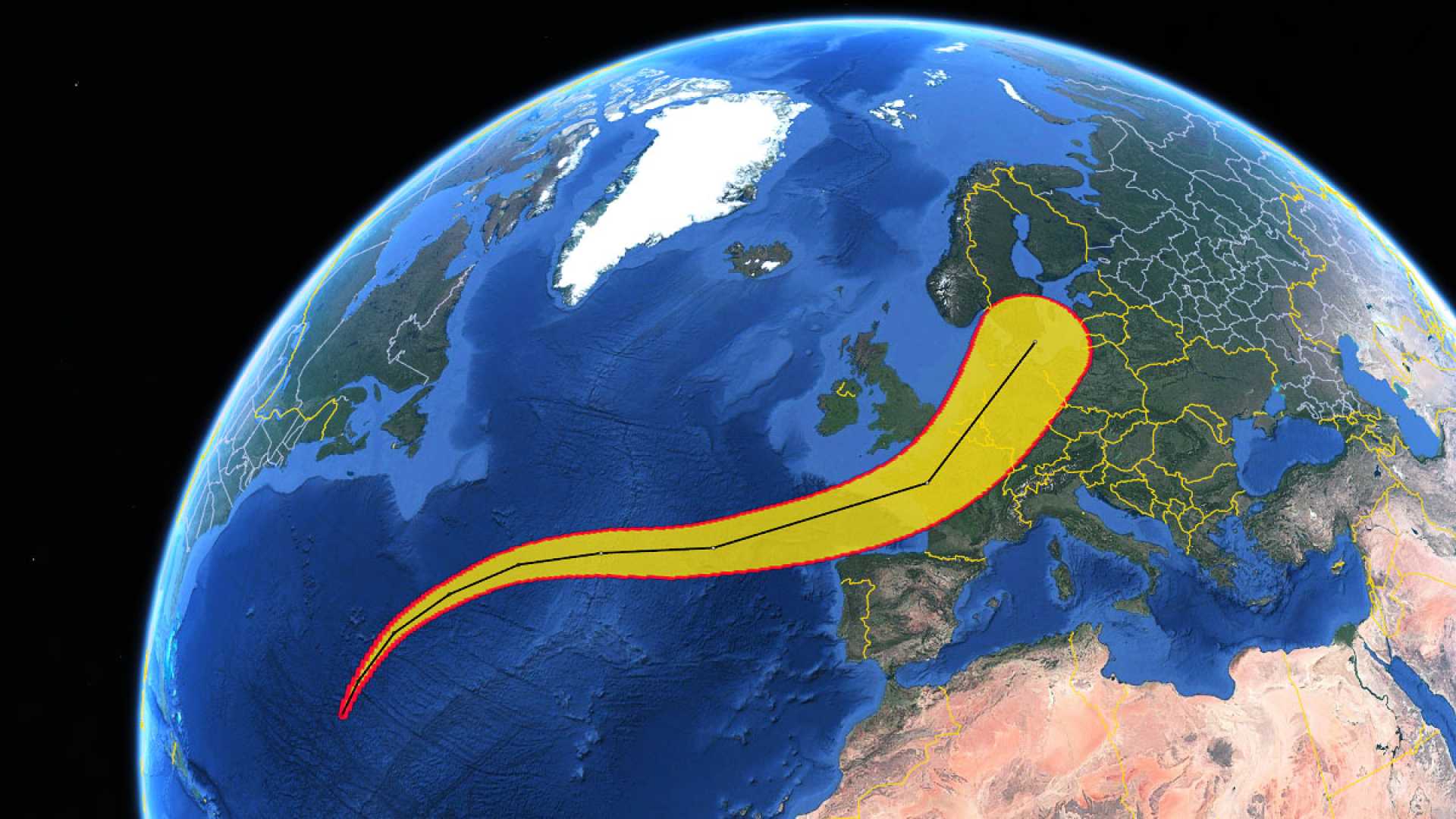
In the central Atlantic Ocean, Hurricane Kirk has intensified to a Category 4 storm, according to the latest information from the National Hurricane Center (NHC). The hurricane now harbors maximum sustained winds of 130 miles per hour, with predictions of further strengthening. As of the center’s 5 p.m. advisory, Kirk was situated near latitude 21.1 North and longitude 46.7 West, advancing northwest at approximately 12 mph. A shift towards the north and north-northeast is anticipated over the weekend at an increased pace.
The NHC warns that Kirk, while projected to remain over open waters, could result in “life-threatening surf and rip current conditions” affecting the Leeward Islands by Friday, Bermuda and the Greater Antilles by Saturday, and potentially the U.S. East Coast and the Bahamas by Sunday.
Additional concern is directed towards a weather system in the Gulf of Mexico. The NHC described it as a “broad area of low pressure” likely to develop further late this weekend or early next week. Presently, it is generating disorganized showers and thunderstorms over parts of the Gulf. Tropical or subtropical development may be inhibited by its interaction with a frontal boundary. Despite this, the NHC forecasts locally heavy rains in portions of Mexico over the coming days and possibly in Florida next week.
Elsewhere in the Atlantic, Tropical Storm Leslie has formed, currently located near latitude 10.1 North and longitude 31.5 West, moving west at roughly 6 mph. Leslie’s maximum sustained winds approximately reach 50 mph, and the storm is expected to develop into a hurricane by Friday, according to AccuWeather. Although Leslie’s trajectory suggests it will bypass the Caribbean, it remains a threat to trans-Atlantic maritime activities.
The NHC also noted the use of “spaghetti models” in forecasting. These models consist of various predictive tools, and only the top-performing ones are used for NHC forecasts. The evolving situation with these storms prompts continual updates to ensure public awareness and safety. Authorities urge those in potential affected areas to stay informed through local sources and official advisories.


