News
Hurricane Kristy Intensifies to Category 5 in Eastern Pacific: Track and Forecast

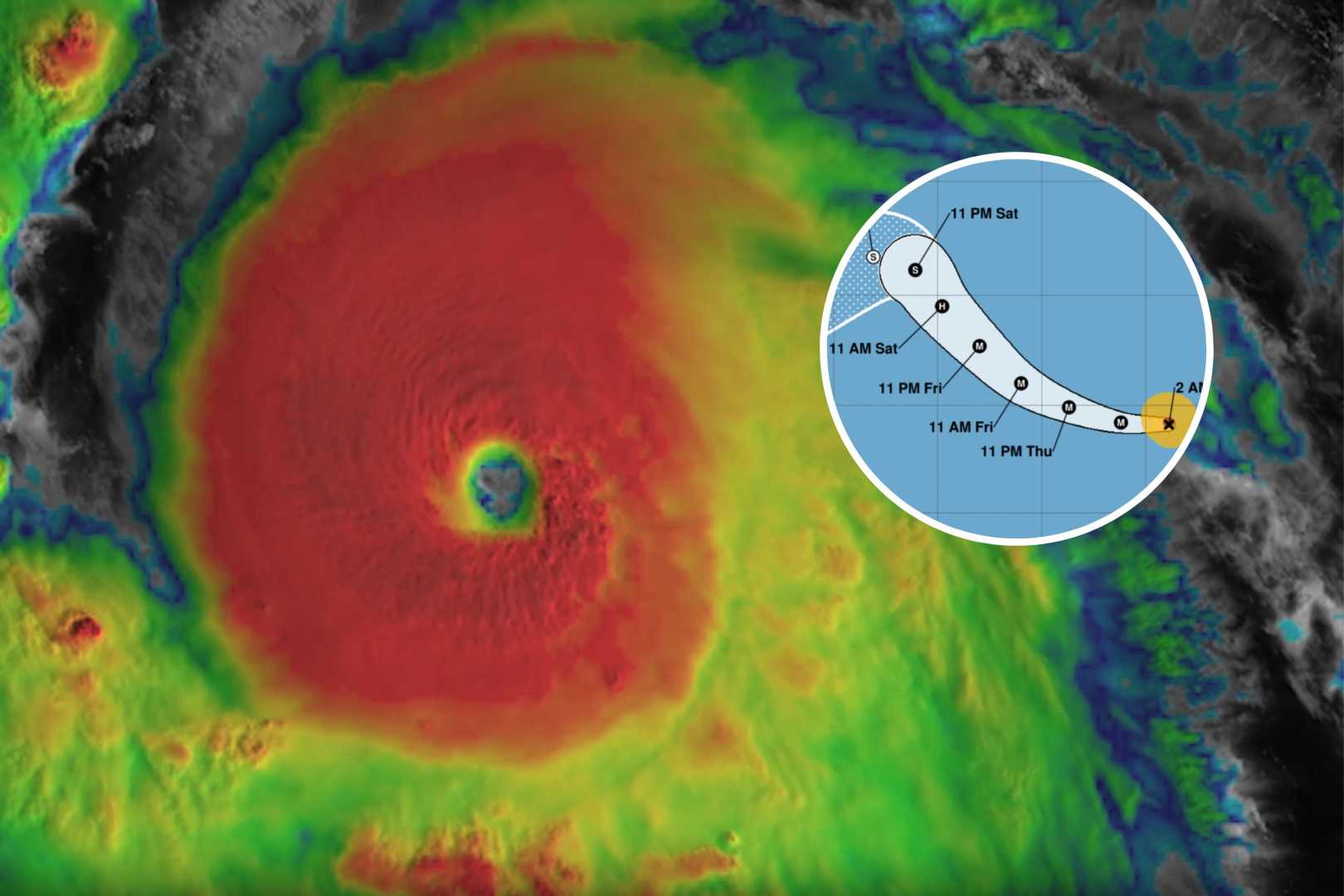
Hurricane Kristy has intensified into a powerful Category 5 hurricane in the Eastern Pacific Ocean, marking only the eighth time a hurricane has reached this category in October in this region. As of the latest updates, Kristy boasts wind gusts of up to 150 miles per hour and is currently racing westward across the Pacific.
The National Hurricane Center (NHC) has indicated that Kristy is expected to remain in a conducive environment for the next 24 hours, characterized by warm sea surface temperatures and minimal vertical wind shear. However, the forecast suggests that the storm will rapidly weaken thereafter due to strong wind shear, drier air, and cooler sea surface temperatures along its projected path.
Despite its significant strength, Hurricane Kristy is not anticipated to affect the United States directly. However, it may generate “life-threatening” waves along the shores of Baja California, Mexico. The NHC warned that swells produced by Kristy could impact parts of Baja California late this week into the weekend, leading to hazardous surf and rip current conditions.
The storm’s trajectory is projected to continue northwestward across the Pacific before diminishing into a tropical storm and shifting southwestward. The NHC’s intensity forecast indicates a swift weakening, predicting that the storm will transition to remnant low status within 72 hours and dissipate by 120 hours.
NOAA satellites have captured stunning footage of Hurricane Kristy from orbit, showcasing the storm’s distinct eye and powerful structure. The storm originated from the remnants of Atlantic Tropical Nadine earlier this week and has rapidly intensified since achieving Category 1 status on Tuesday and Category 3 on Wednesday.


