News
Hurricane Leslie Intensifies in the Atlantic: No Immediate Threat to Land

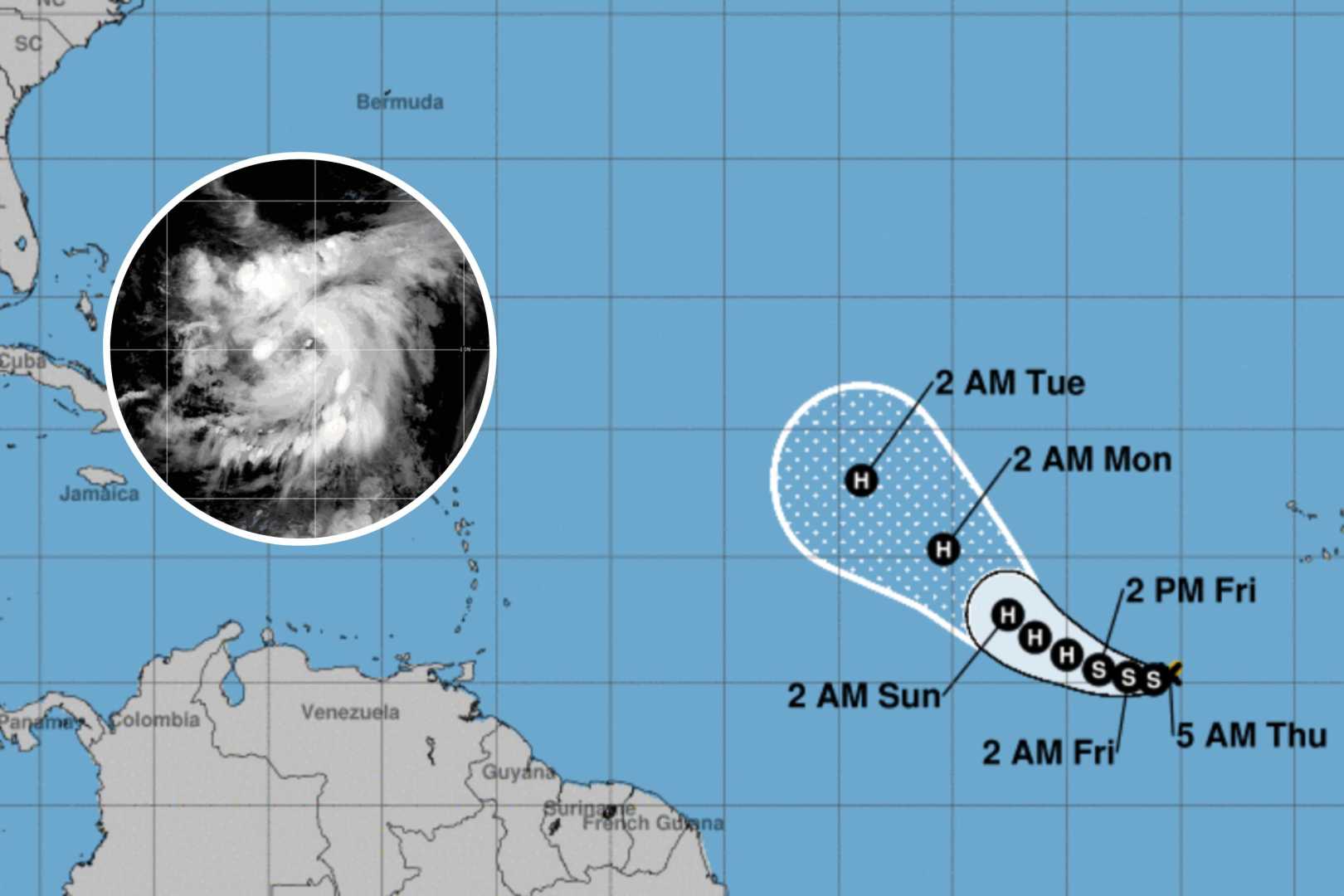
Hurricane Leslie has intensified into a Category 2 hurricane in the North Atlantic Ocean, as of late Wednesday Eastern time, according to the latest update from the National Hurricane Center (NHC). The storm currently possesses sustained wind speeds of 105 miles per hour, indicating significant atmospheric activity but no immediate threat to land.
Experts use satellite imagery to assess the strength, size, and structure of such storms. It is noted that the formation of a symmetrical eye often signifies that a hurricane is not experiencing conditions that would weaken it. Despite its strength, Leslie is not expected to impact any coastal areas directly at this time, as it continues on a northwest trajectory across the Central Atlantic.
This year marks another active hurricane season, with Leslie being the twelfth named storm in the Atlantic so far. The National Oceanic and Atmospheric Administration (NOAA) had predicted a range of 17 to 25 named storms for the 2024 season. This forecast follows 2023, which was also a notably active year with 20 named storms.
Typically, an El Niño weather pattern would suppress hurricane formation by increasing wind shear, which disrupts storm development. However, unusually warm ocean temperatures in 2023 undermined this effect, leading to a greater number of storms. Similar conditions persist this year, suggesting that the trend of heightened tropical activity may continue.
Meanwhile, the Climate Prediction Center has released longer-term forecasts indicating low confidence in additional tropical formations over the next few weeks. Nonetheless, weather conditions remain dynamic, and constant monitoring is paramount as hurricane season extendedly spans through November 30th, leaving several weeks of potential activity.
Besides Hurricane Leslie, other tropical phenomena are being monitored. This includes Tropical Storm Milton in the Gulf and “Invest 93,” a non-tropical area of low pressure between The Bahamas and Bermuda, which currently produces gale-force winds. While these disturbances show activity, upper-level winds are expected to inhibit further tropical development imminently.


