News
Hurricane Milton Approaches Florida as Michigan Faces Frost and Freezing Temperatures

While tranquil weather prevails in Michigan, attention is drawn to developments in Florida where Hurricane Milton has intensified to a Category 5 storm. Local meteorologist Kim Adams, a prominent member of the 4Warn Weather Team, reports that conditions in Michigan remain calm for the upcoming days. “Our weather for the next five days is predominantly sunny,” said Adams, with highs anticipated to reach the mid-60s and lows dropping to the low 40s, with a frost advisory expected Wednesday morning.”
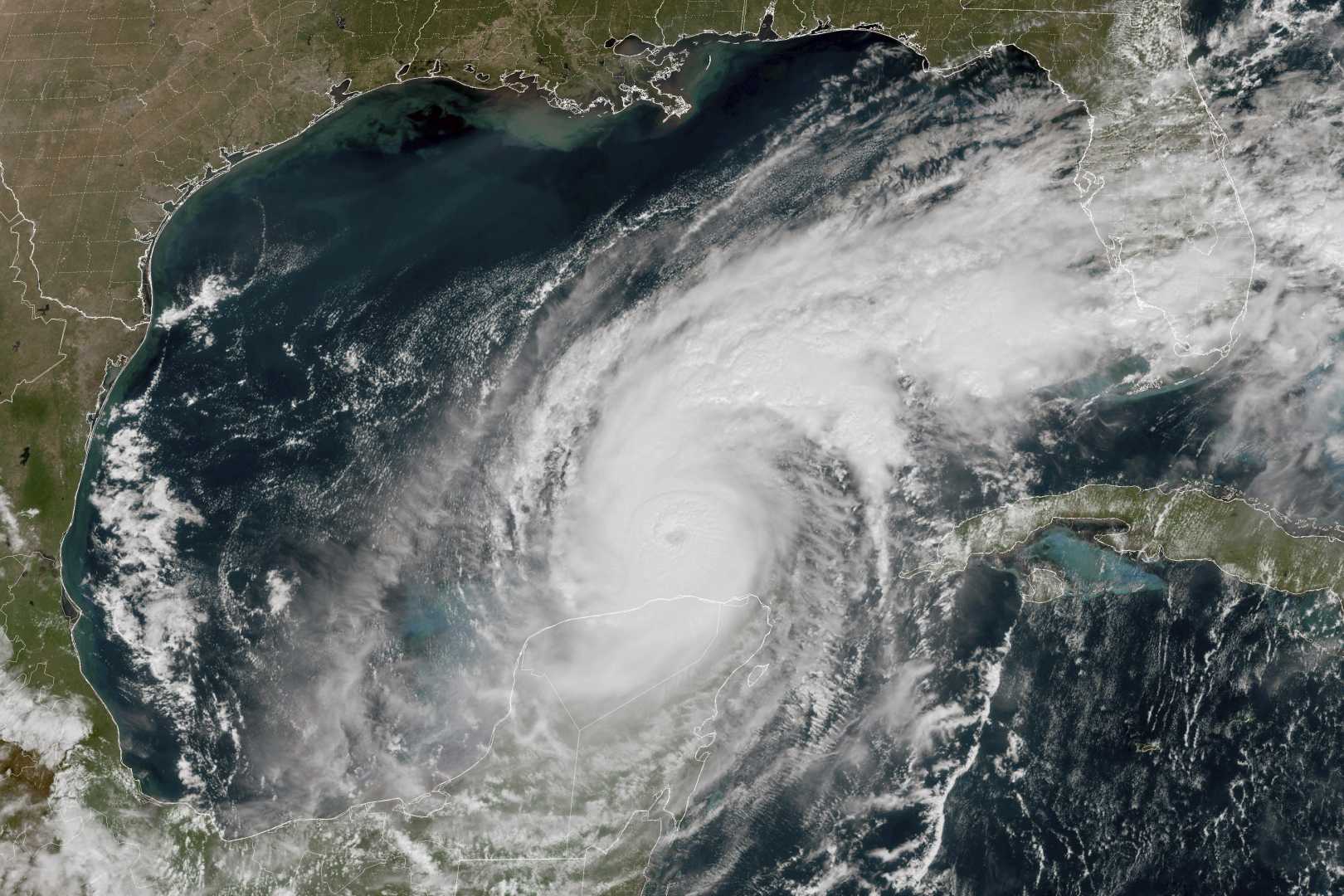
Hurricane Milton, currently exhibiting winds of 175 miles per hour as of 2 p.m. today, poses a significant threat as it is projected to make landfall in the Tampa Bay area by 8 p.m. Wednesday. The trajectory of Milton could shift by over 100 miles, causing uncertainty in its exact path. Though wind shear is expected to weaken Milton to a Category 3 or 4 before landfall, residents are bracing for storm surges potentially exceeding 18 feet in certain areas. “We will continue to monitor the storm’s path closely and provide updates during Local 4 news broadcasts at 5, 6, and 11 p.m.” Adams stated.
Back in Michigan, an area of high pressure maintains control over the weather, ensuring mostly clear skies and dry conditions through Friday. However, a cold front expected to approach Friday may lead to moderating temperatures followed by a cooling trend into next week. Recent reports indicated a morning temperature of 36 degrees at 5:30 a.m. in Grand Rapids, contrasting with yesterday’s high of 71 and low of 39 degrees.
Historical climate data highlights extreme weather patterns, noting record low temperatures of 23 degrees in Grand Rapids and Lansing, and 24 degrees in Muskegon on this day in 1989. Conversely, record highs of 86 degrees were recorded on this day in 1949 in Detroit.
The forecast for Michigan includes continued sunny conditions with moderate winds, transitioning into a cooler weekend with potential for showers. Sunday and Monday could see increased precipitation due to a significant jet stream pattern entering the region from the Canadian Prairies.


