News
Hurricane Milton Downgraded to Category 1 as It Moves into the Atlantic

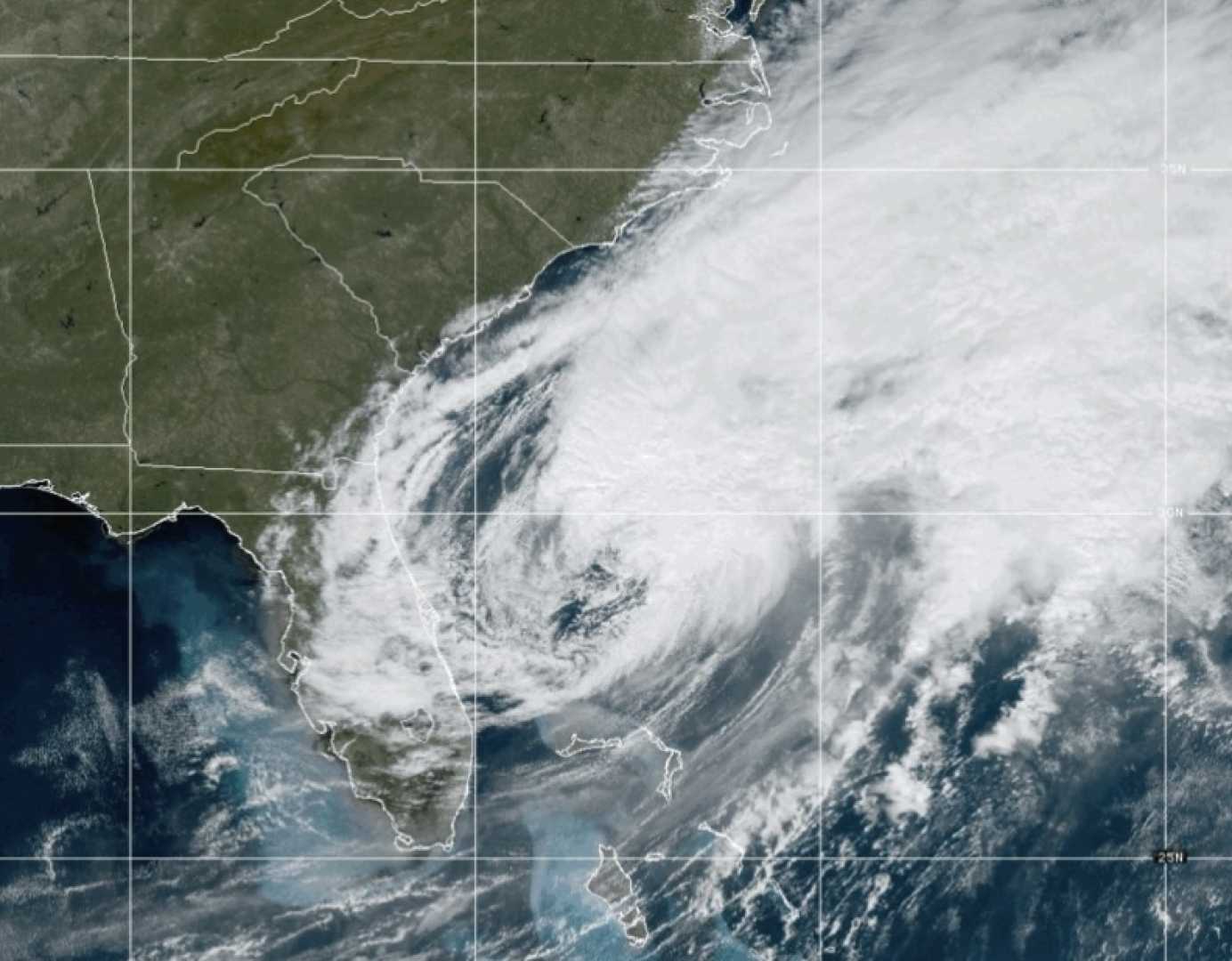
Hurricane Milton, previously classified as an “extremely dangerous” Category 3 storm, has now weakened to a Category 1 hurricane as it traverses the Atlantic Ocean eastwards, leaving Florida in its wake. The center of the hurricane exited the state after causing substantial havoc, including life-threatening storm surges, severe winds, and flash flooding across the Central Florida region.
The hurricane made landfall at Siesta Key in Sarasota County, located on Florida’s west coast, according to meteorological reports. This area experienced the worst of the storm’s effects with severe wind damage and flooding.
As the system moves away from the United States, meteorologists at the Canadian Hurricane Centre, such as Chris Fogarty, have confirmed that the storm poses no immediate danger to Canadian territories. “It’s going almost directly eastward out into the Atlantic Ocean,” Fogarty noted, which should alleviate concerns north of the border.
Meanwhile, in Ontario, the weather is set for a brief change. Southern and eastern parts of Ontario can expect unusually warm temperatures on Friday, with some areas like London forecasted to see temperatures rise to 23 degrees Celsius. This comes after a cold night with frost advisories in effect. “Friday we have a southwesterly flow developing, bringing warmer air from the States toward southern Ontario,” explained Environment Canada meteorologist Peter Kimbell during a Thursday phone interview.
However, this warmth will not be lasting. By Monday, colder temperatures are predicted to return as Kimbell warned of “the possibility of flurries” for Eastern Ontario, although these are not yet officially forecasted. Temperatures over the weekend are expected to drop significantly, culminating in a much cooler Monday, with London seeing a decrease from 23 degrees Friday to 8 degrees by the start of the next week.


