News
Increasing Rain Expected for Mother’s Day Weekend in Southeast U.S.
TALLAHASSEE, Fla. (WCTV) — Rain and thunderstorms are forecasted to impact Southeast Georgia and parts of northeast Florida this Mother’s Day weekend, prompting weather alerts across the region. The wet weather is expected to start Friday evening and continue into Sunday.
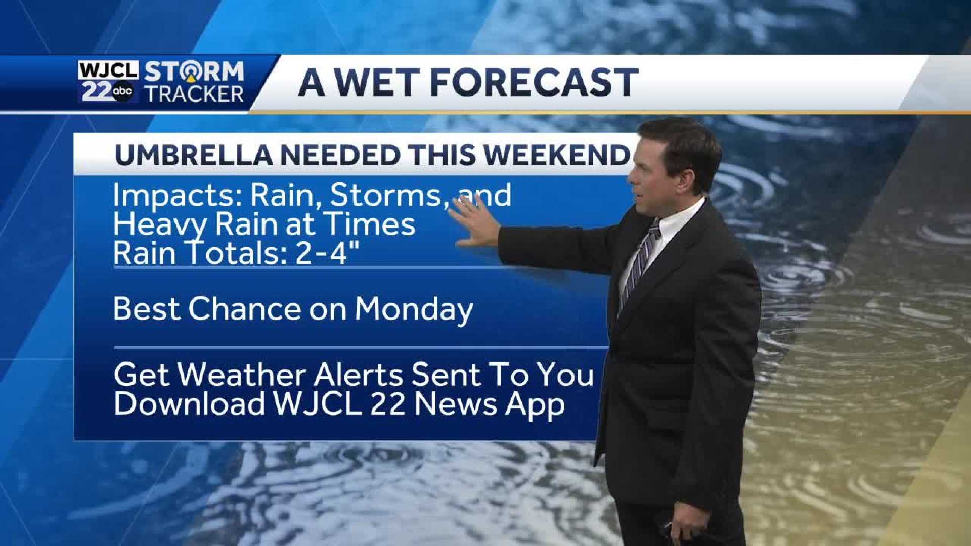
Chief Meteorologist Richard Nunn noted that evening thunderstorms have already begun affecting parts of Georgia and Florida. “Thunderstorms have started near I-10 and I-75,” he said, adding that they will move toward the northeast throughout Friday evening. Rainfall totals for the weekend are projected to reach between three to five inches, with local flooding possible.
Weather models present various scenarios, but they all indicate increasing rainfall headed for Mother’s Day. Southeastern Georgia can expect showers to start around 4 PM on Saturday and continue into the late evening hours. In northeast Florida, rainfall is anticipated to begin around 5 PM and persist until 10 or 11 PM.
The National Weather Service has issued a flash flood warning for areas including Saint Charles and parts of Saint John the Baptist Parish, lasting until 7:15 PM Friday. Additional flood advisories have been issued for the metro New Orleans area.
As temperatures hover in the upper 60s to mid-70s, the threat of isolated severe storms remains throughout the weekend. High temperatures on Sunday are expected to be around 78 degrees, but gusty winds and potential hail are concerns.
Nunn emphasized that individuals should remain cautious during outdoor plans this weekend. “If you encounter a storm, be prepared for locally heavy rainfall,” he warned.
Looking ahead to next week, the wet pattern continues with scattered showers expected Monday, paving the way for a warming trend later in the week, with highs potentially reaching the upper 80s.


