News
Indiana Faces Rapid Weather Shift from Rain to Snow Over 36 Hours
INDIANAPOLIS, Ind. — Central Indiana residents should prepare for a significant weather change, with heavy rain and a drop in temperatures expected over the next day. Beginning tonight, the region will experience thunderstorms followed by a cold front that will bring snow showers by Wednesday night.
Weather forecasters predict that a round of heavy rain will sweep through central Indiana starting late this evening. Rainfall totals could reach between 0.50 inches to 1 inch, leading to potential street flooding in various areas, particularly in the Indianapolis metro area, where severe weather is not anticipated but gusty winds could pose risks.
The National Weather Service indicates that temperatures will begin to plummet during the day on Wednesday, dropping from the 60s this morning to the lower 40s by afternoon and continuing to fall to near freezing by late evening. This drastic change will transform rain into snow, with accumulations expected to range from light coatings to near half an inch by Thursday morning.
“While we do not foresee widespread road issues, elevated surfaces may become slick due to snow accumulation,” said a spokesperson from the Indiana Department of Transportation.
In the Indianapolis area, outdoor plans should be wrapped up by 7 p.m. as thunderstorms are expected to move in after 5 p.m. With gusty storm activity particularly affecting the southern half of the state between 9 p.m. and 1 a.m., gusts of over 50 mph may contribute to power outages and localized wind damage.
As the evening progresses, storm systems will transition to snow through the night before gradually clearing on Thursday. Although the skies are expected to clear, highs on Thursday will remain cooler with temperatures only reaching the low 40s.
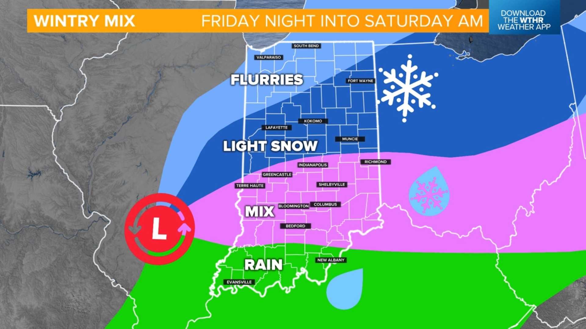
Looking ahead, a new weather system is anticipated to move through the area on Friday, introducing potential mixed rain and snow showers as temperatures hover near freezing. Despite the upcoming cool temperatures, a warming trend is expected over the weekend with sunny skies and highs in the mid-40s.
“As we move into next week, there’s a chance temperatures could soar into the 60s and possibly reach the low 70s by Tuesday,” added the spokesperson.
Residents are encouraged to stay informed about weather conditions and adjust their plans accordingly as severe weather season approaches. For continuous updates, local meteorologists stress the importance of monitoring forecasts from trusted news outlets.


