News
Jacksonville Weather Update: Breezy Conditions Ahead of Air Show
JACKSONVILLE, Fla. – A beautiful Friday is shaping up in Jacksonville as slightly warmer temperatures are expected across the region. Winds from the northeast will increase throughout the day, with gusts reaching 20 to 25 mph inland and closer to 30 mph along the Northeast Florida coast.
These breezy conditions are likely to continue throughout the weekend, leading to a high rip current risk for beachgoers until Monday night. Officials are urging visitors to exercise caution while swimming or engaging in water activities along the coast.
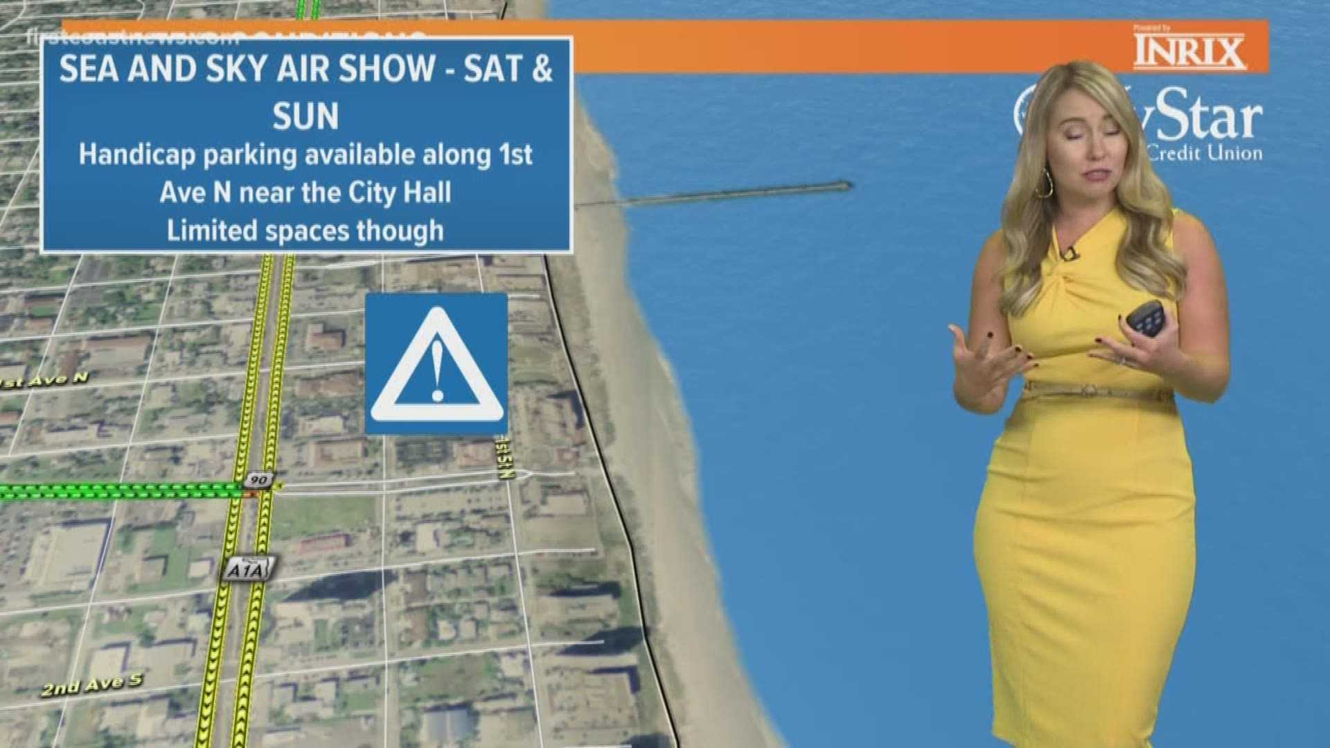
This weekend also marks the Sea and Sky Air Show, set to take place on Saturday and Sunday. Attendees are advised to prepare for the windy conditions as they enjoy the thrilling aerial displays. However, there is a possibility of showers moving in later Saturday afternoon into Sunday, with rain chances increasing throughout the day.
Those planning outdoor activities on Sunday are encouraged to keep an eye on the weather updates and be ready for potentially wet conditions. The forecast suggests that the best times to enjoy outdoor plans may be early in the weekend.
The First Alert Weather Team anticipates isolated showers will mainly affect areas closer to the coast on Sunday afternoon. Keeping an umbrella handy may be wise for those attending the Air Show.
Additionally, meteorologists continue to monitor a broad area of low pressure in the Caribbean Sea, which is expected to develop into a tropical storm named Melissa. Residents are advised to stay updated on the storm’s progress and potential impact on the region.


