News
Kansas City Faces Severe Weather and Flood Watch This Week
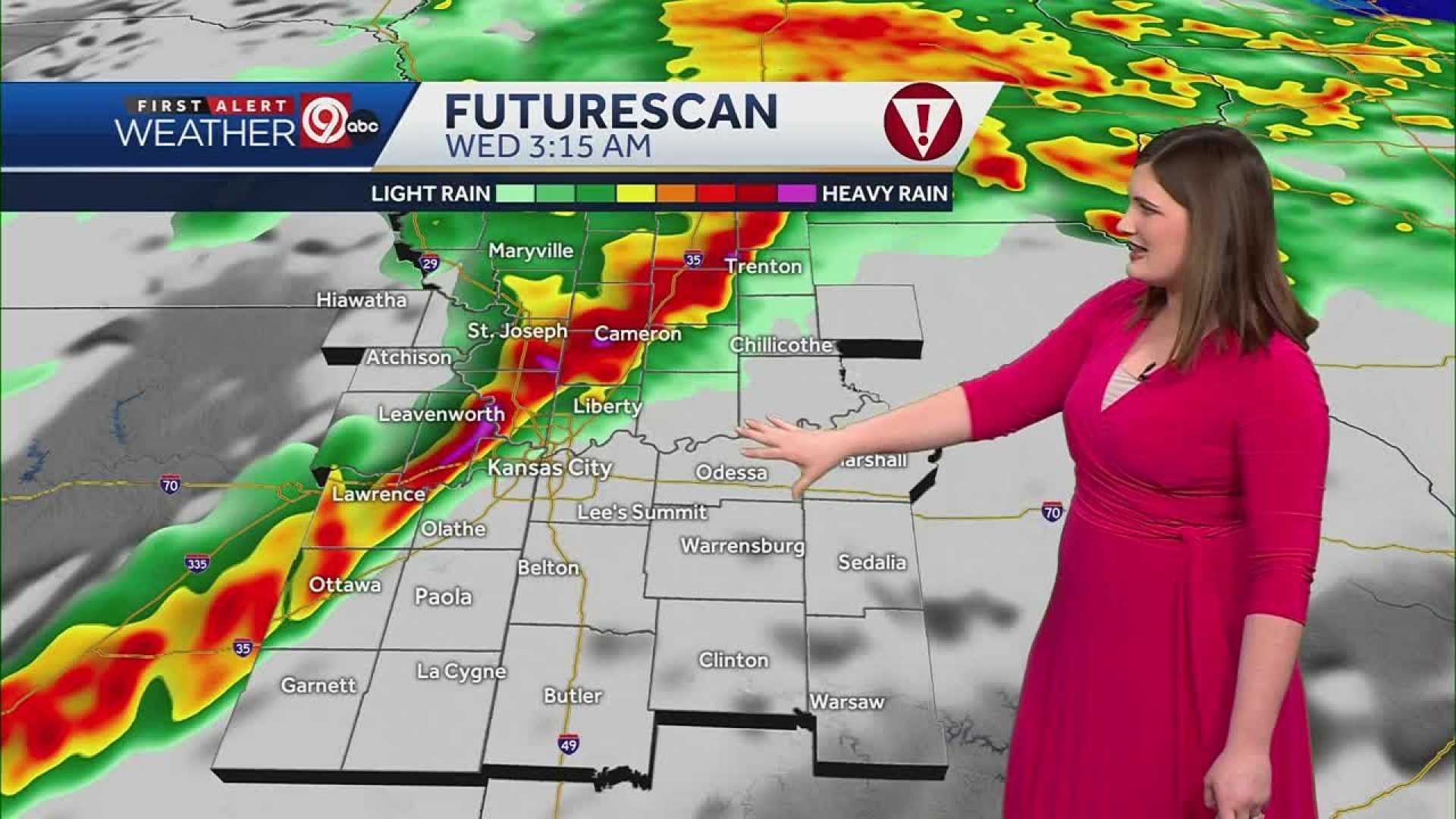
KANSAS CITY, Mo. — Kansas City is bracing for severe weather conditions this week, with a Flood Watch in effect for Tuesday. The area is expecting periods of heavy rain and thunderstorms, some of which could be severe.
According to the latest forecast, up to 3 inches of rain could fall in many parts of the city, bringing the risk of flash flooding. The high temperature on Tuesday is expected to reach 75 degrees, with gusty winds accompanying the storms.
Tonight, the rain is predicted to clear by morning, with temperatures dropping to a low of 55 degrees. Winds will be from the north at 5-15 mph.
Looking ahead, Wednesday is expected to be partly cloudy with a high of 74 degrees and slightly calmer winds. However, humidity might persist as the area continues to recover from the active weather.
Residents are encouraged to stay updated on the situation through the KSHB 41 Weather Storm Shield app, which provides critical alerts and notifications related to potentially dangerous weather events.
In addition to thunderstorms, Kansas City could see lingering effects from wildfire smoke over the weekend, contributing to unhealthy air conditions. The temperature is predicted to rise on Saturday to a high of 84 degrees, with a chance of afternoon showers.
For now, the focus remains on the severe weather forecast for Tuesday. Authorities urge residents to exercise caution during rain events, especially in areas prone to flooding.


