News
Key Biscayne Weather: Warm Days Ahead with Potential Storms
Key Biscayne, FL – Residents can expect a warm and mostly dry day today, with temperatures reaching a high near 87 degrees. According to local forecasts, partly cloudy skies will prevail, along with south winds ranging from 10 to 20 mph. Sunrise is set for 6:29 a.m., and sunset will occur at 8:06 p.m.
Tonight, temperatures are expected to drop to a low of around 79 degrees, with a few clouds and winds shifting from the southwest at the same speed. On Saturday, a mix of sunshine in the morning will give way to increased cloud cover later in the day, with a high temperature of 87 degrees and west-southwest winds at 10 to 15 mph.
A thin layer of Saharan dust is currently affecting South Florida‘s skies, contributing to the region’s dry conditions and minimizing rain chances for Friday. However, a stray shower or thunderstorm cannot be entirely ruled out. This dry air is expected to keep high temperatures in the low 90s, with “feels-like” conditions reaching close to 100 degrees.
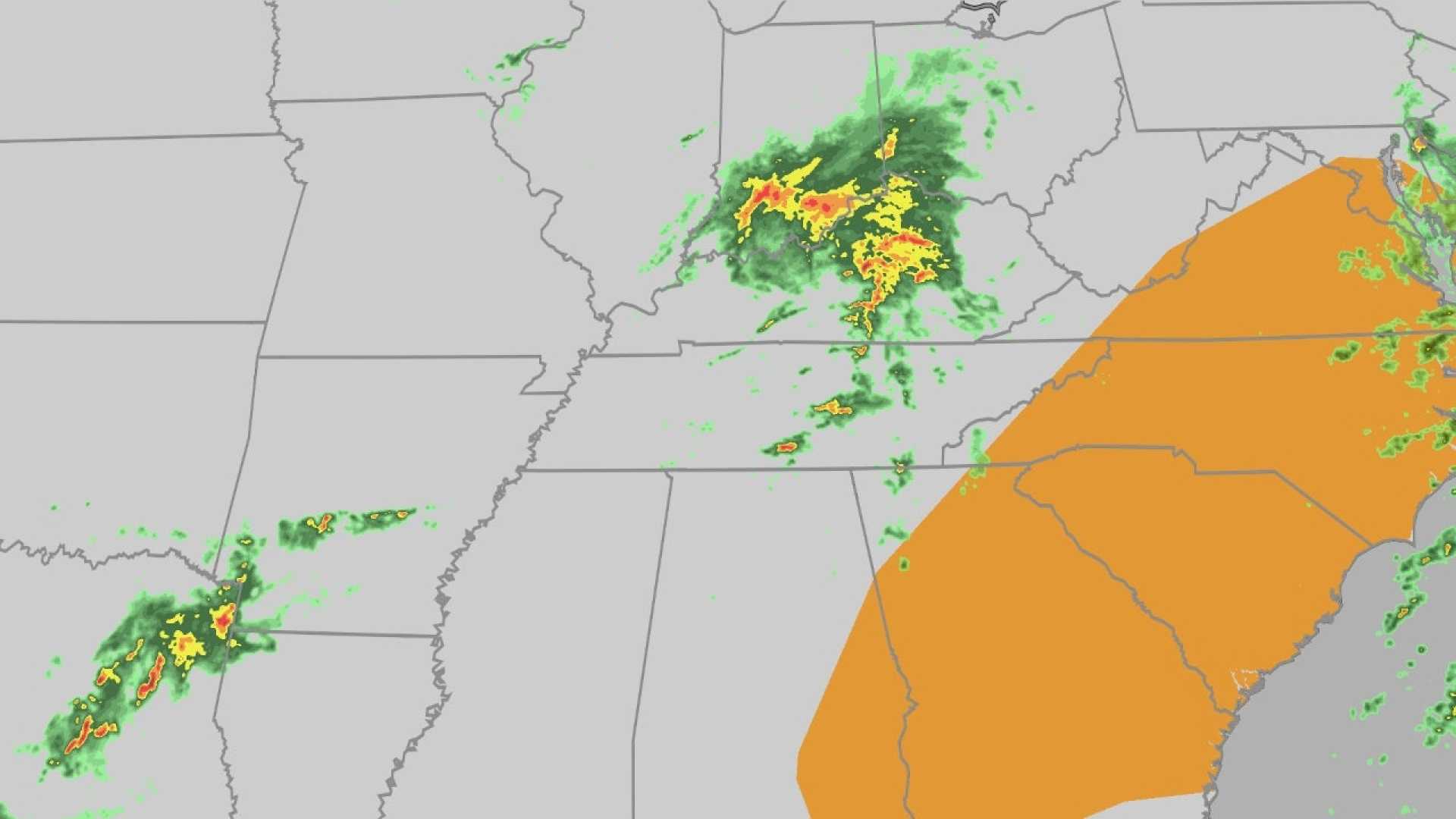
By Saturday, a frontal boundary will approach the area, resulting in midday and afternoon thunderstorms. The presence of Saharan dust coupled with this cold front is likely to create enough lift to stimulate active weather in the region.
Residents should prepare for unsettled weather conditions over the weekend. Sunday is anticipated to see an increase in storm activity just as the official start of Hurricane Season begins. Highs will be near 90 degrees, with a new surge of Saharan dust expected to reach the area by early next week. This dust layer might also impact weather patterns, serving as a boundary between the humid and dry air, potentially sparking showers and storms.
At this time, there are no tropical developments being watched in the Atlantic Ocean.


