News
Las Vegas and Phoenix Brace for Consecutive Winter Storms
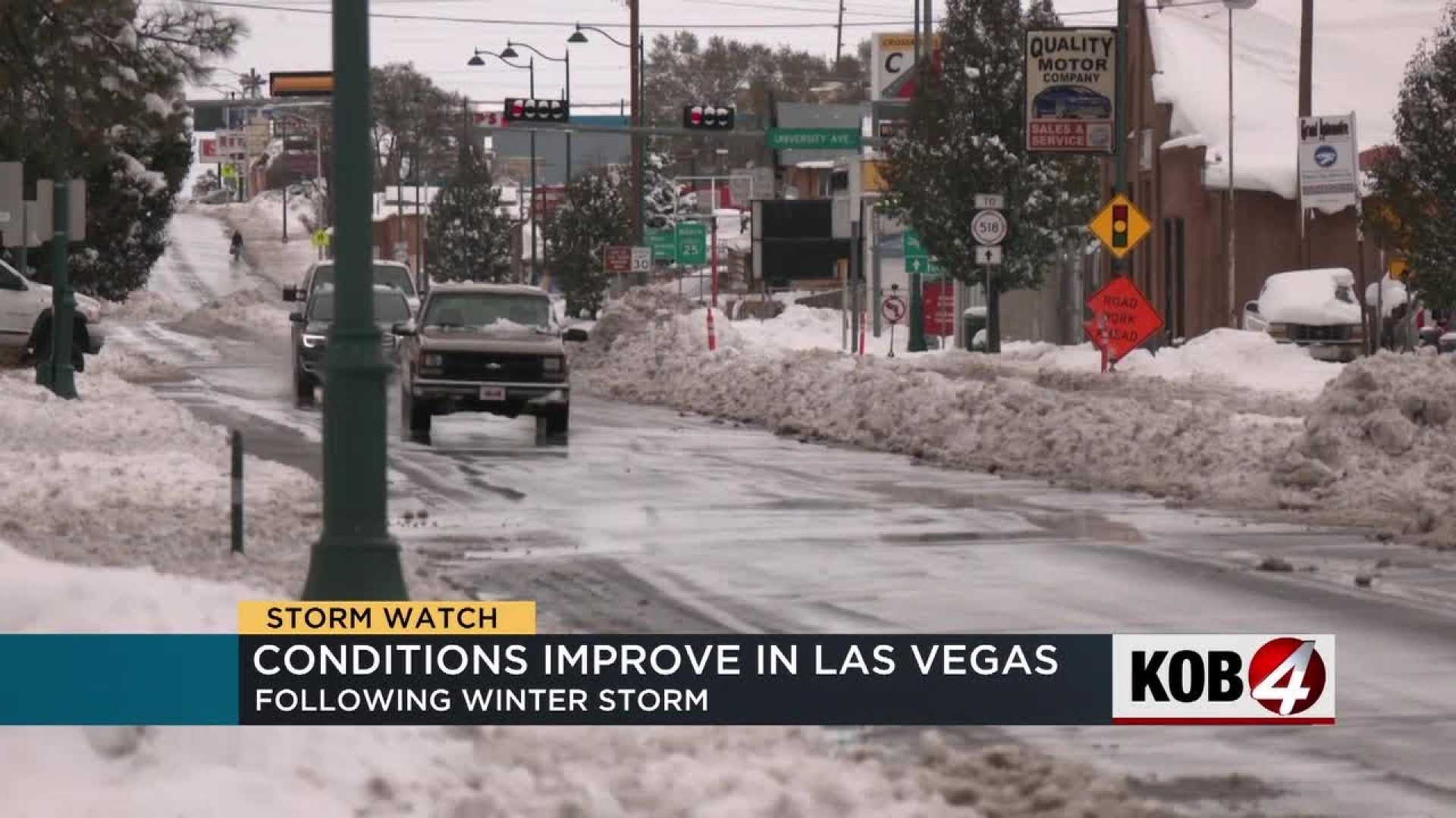
LAS VEGAS, Nev. — A series of winter storms are forecasted to impact the Las Vegas Valley and Phoenix areas beginning Tuesday, with significant weather changes expected throughout the week.
In Las Vegas, widespread rain is anticipated on Thursday morning, with the highest chances occurring between 7 a.m. and noon. Most neighborhoods are projected to receive between a trace and 0.10 inches of rain, while areas outside the valley, such as Pahrump and Laughlin, may see higher totals.
According to the National Weather Service, the rain is expected to transition into scattered showers by Thursday afternoon and evening. In addition to rain, a Wind Advisory will be in effect from 8 a.m. to 8 p.m. Thursday, as gusts could reach up to 50 miles per hour.
A Winter Storm Warning is currently in place for the Spring Mountains from 11 p.m. Wednesday through 11 p.m. Thursday, with snowfall forecasted to range from 6 to 12 inches on Mt. Charleston. Motorists traveling between Pahrump and Las Vegas should prepare for accumulating snow in Mountain Springs.
In Phoenix, the First Alert Weather team declared Tuesday and Thursday as First Alert Weather Days amid predictions of two powerful winter storms. The first storm is expected to bring light rain to the Valley starting Tuesday afternoon, with precipitation continuing into Wednesday morning. While this initial storm is warmer, it could still produce up to three inches of snow in some mountainous areas.
A winter weather advisory will be effective for the Rim Country and White Mountains from 2 p.m. Tuesday until 11 a.m. Wednesday, projecting snow accumulations of 2 to 6 inches above 6,000 feet.
The second winter storm, set to arrive Thursday, will bring colder air and the potential for heavy snow in the northern Arizona mountains. Wind gusts could reach 25 mph, prompting a possible wind advisory. Rainfall of 0.25 to 0.50 inches could accumulate by Friday morning, particularly if thunderstorms accompany the cold front.
Snow levels might decrease to as low as 4,000 feet, affecting travel conditions across northern and eastern Arizona late Thursday into early Friday. Snowfall in Flagstaff may reach 6 to 10 inches, complicating morning commutes.
Once these systems pass, weekend conditions appear more favorable, with mostly sunny skies and highs expected to be back in the mid to upper 70s by Sunday. However, early next week could see a return of wind and additional rain chances on Monday and Tuesday.


