News
Los Angeles Wildfires Leave Trail of Destruction, Highlight Evacuation Challenges

LOS ANGELES, Calif. — Devastating wildfires have ravaged Los Angeles County, leaving entire neighborhoods in ashes and claiming dozens of lives. The Palisades and Eaton fires, which began on January 7, 2025, have destroyed over 12,300 structures, according to preliminary estimates from the California Department of Forestry and Fire Protection.
The Palisades Fire, the larger of the two, has scorched vast areas, including the iconic Moonshadows restaurant, the Palisades Branch Library, and Palisades Charter High School. Kevin Marshall, a resident, was seen sifting through the remains of his mother’s property in the Pacific Palisades neighborhood. “It’s heartbreaking,” he said. “Everything we knew is gone.”
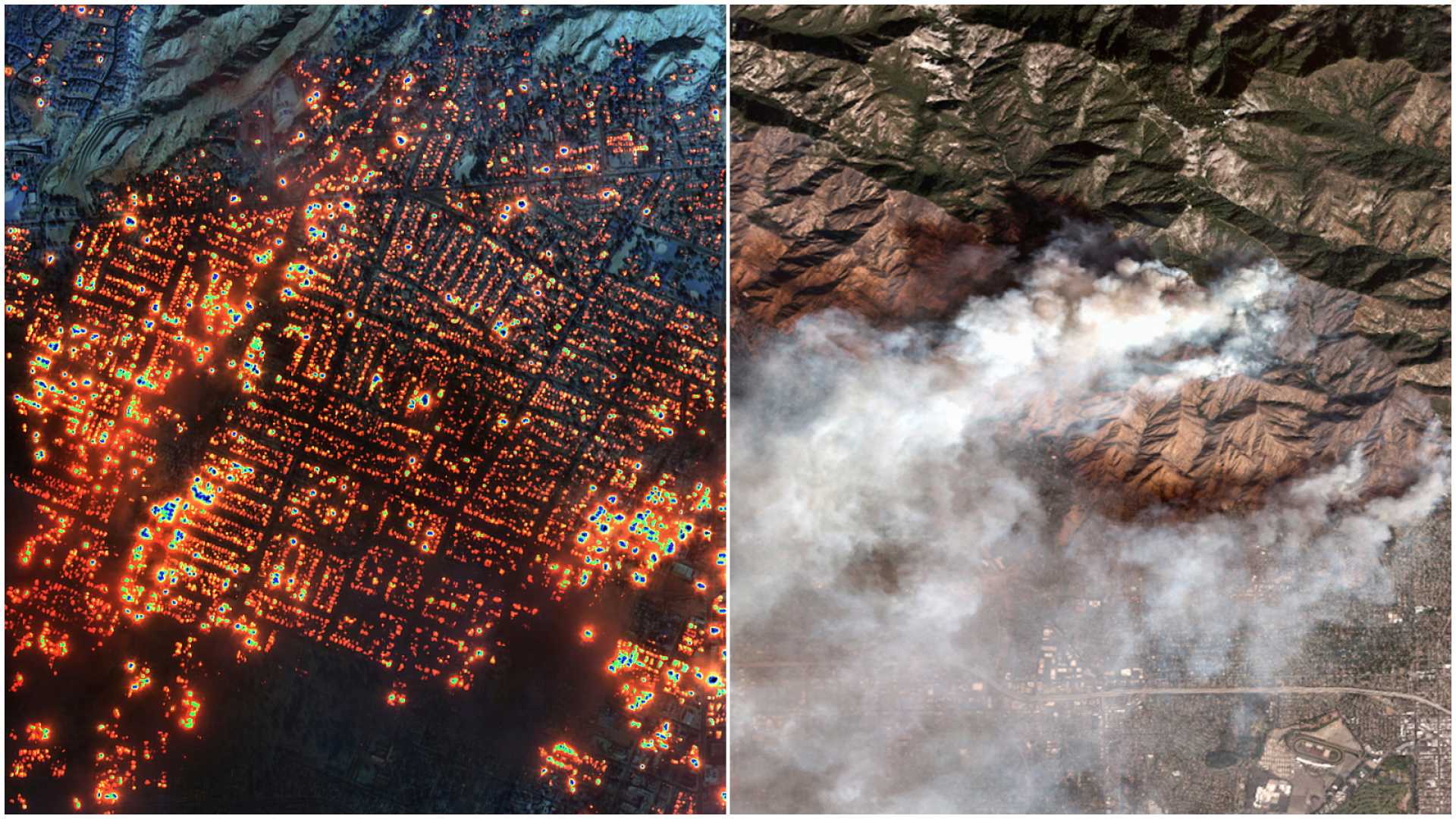
The Eaton Fire, though smaller in size, has caused significant damage in Altadena, with satellite images from Maxar Technologies showing entire blocks reduced to rubble. The Eliot Arts Magnet Academy auditorium was among the structures destroyed, leaving firefighters to survey the charred remains.
Evacuation challenges have compounded the crisis. Many residents in Pacific Palisades faced traffic bottlenecks, forcing some to abandon their vehicles and flee on foot. A report by Streetlight Data revealed that hundreds of small communities across the U.S. lack adequate evacuation routes, leaving them vulnerable during emergencies.
The Palisades and Eaton fires now rank as the third and fourth most destructive wildfires in California history since 1991. Officials warn that the full extent of the damage is still being assessed, and the death toll may rise as search and recovery efforts continue.


