News
Major Snowstorm Hits Tri-State Area, Expect Treacherous Travel
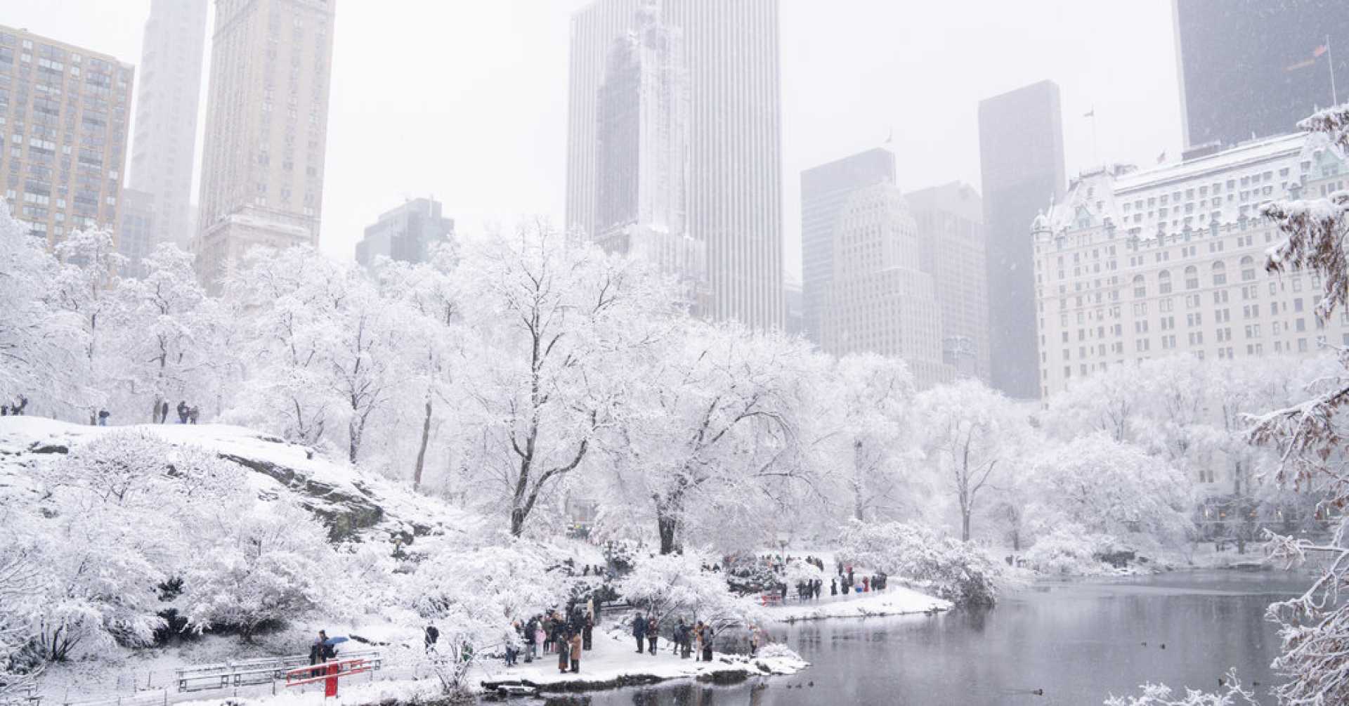
NEW YORK (WABC) — A major snowstorm is enveloping the Tri-State area, bringing snow and sleet as heavy bands continue to pummel the region into the early hours of Saturday. Forecasts indicate some areas could receive between 8 and 10 inches of snow, while sleet has mixed in for other regions, resulting in lower totals in New York City and areas to the south and west.
The storm began impacting the region around 7 p.m. Friday, with another burst of heavier snow predicted to add another 1 to 4 inches for parts of the Tri-State until about 2 a.m. Saturday, especially to the north and east. Light snow is expected to gradually taper off by late morning.
Visibility was significantly reduced during the storm on Friday night, creating treacherous travel conditions across the entire region. A Winter Storm Warning has been issued for New York City and the areas to the north and east, while central New Jersey has had its warning lifted, as total snow could be just 2 inches.
Snowfall of 8 to 10 inches is expected in parts of Orange, Ulster, Dutchess, Putnam, northern Westchester, and Fairfield counties, extending east into Long Island. New York City is projected to be right on the 4-inch line. Areas south of I-78 will see lower totals.
The system causing this storm is classified as an Alberta Clipper, enhanced by energy from Pacific storms, leading to significant snowfall due to a collision with colder air in the region. Meteorologist Jeff Smith referred to the system as an ‘Alberta Clipper on steroids.’
Temperatures on Saturday are expected to remain cold, just barely above freezing, limiting any melting of the fresh snow. However, temperatures are forecasted to rise into the 40s on Sunday, bringing with it potential rain and an icy mix, exacerbating travel issues due to melting snow.
As the Tri-State braces for this winter storm, the NYC Emergency Management Department has issued a travel advisory for Friday evening into Saturday, warning of potential delays and hazardous conditions. Drivers are urged to exercise extreme caution.
The forecast also anticipates another system bringing rain on Sunday night, which may lead to isolated flooding and travel complications into Monday, as a blast of Arctic air is expected to sweep the area toward the end of the year.


