News
Metro Detroit Faces Sudden 50-Degree Temperature Drop and Frost Advisory
Detroit, Michigan — A dramatic 50-degree drop in temperatures is expected for Metro Detroit starting Tuesday night, as a frost advisory covers much of the area. The sharp decline in temperature follows storms that developed ahead of a cold front earlier in the day.
As the storms moved out, temperatures began to fall rapidly. By tonight, lows are projected to drop to the low to mid-30s, prompting the National Weather Service to issue the advisory. Winds have also been a concern, with a Wind Advisory in effect until 6 p.m. Wednesday. Wind gusts could exceed 45 mph, especially across the southern half of the Lower Peninsula.
The Wind Advisory currently affects a broad region, including cities such as Muskegon, Grand Rapids, Kalamazoo, Flint, Saginaw, Ann Arbor, and stretches over to Detroit, Port Huron, and all of The Thumb. Sustained winds are expected to remain between 20 to 30 mph throughout the day. The high winds may lead to falling tree limbs and isolated power outages, particularly affecting high-profile vehicles on the road.
As the day progresses, temperatures will initially reach the low 80s before the cold front sweeps in late in the day. This significant temperature swing could result in patchy frost conditions overnight.
Looking ahead, Wednesday will bring a mix of clouds and sunshine with cooler highs in the low 60s. Rain is forecasted to arrive Wednesday night into Thursday, potentially heavy at times, with showers lingering into Friday morning before clearing up.
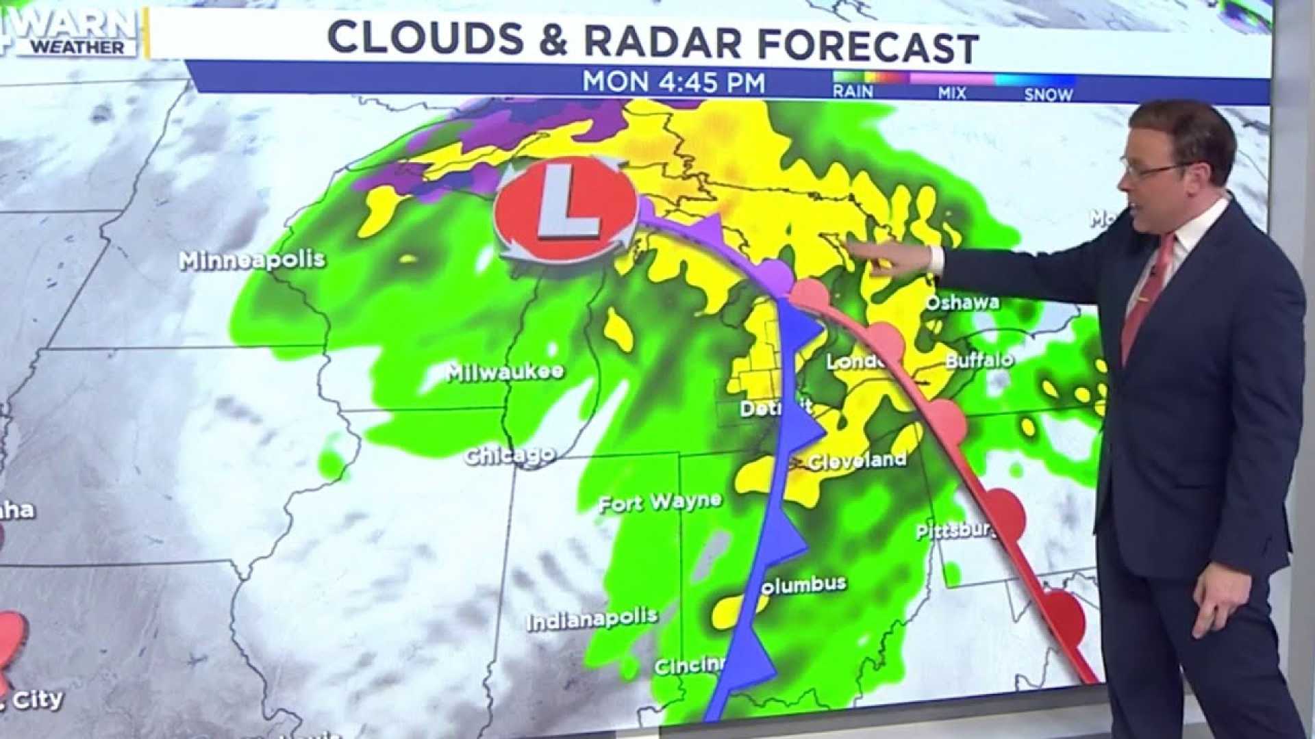
For those wanting detailed updates, the 4Warn Weather app is recommended and can be downloaded for both iPhones and Androids.


