News
Michigan Winter Weather Advisory: Snow Forecasts Shift, Northern Counties Brace for Impact
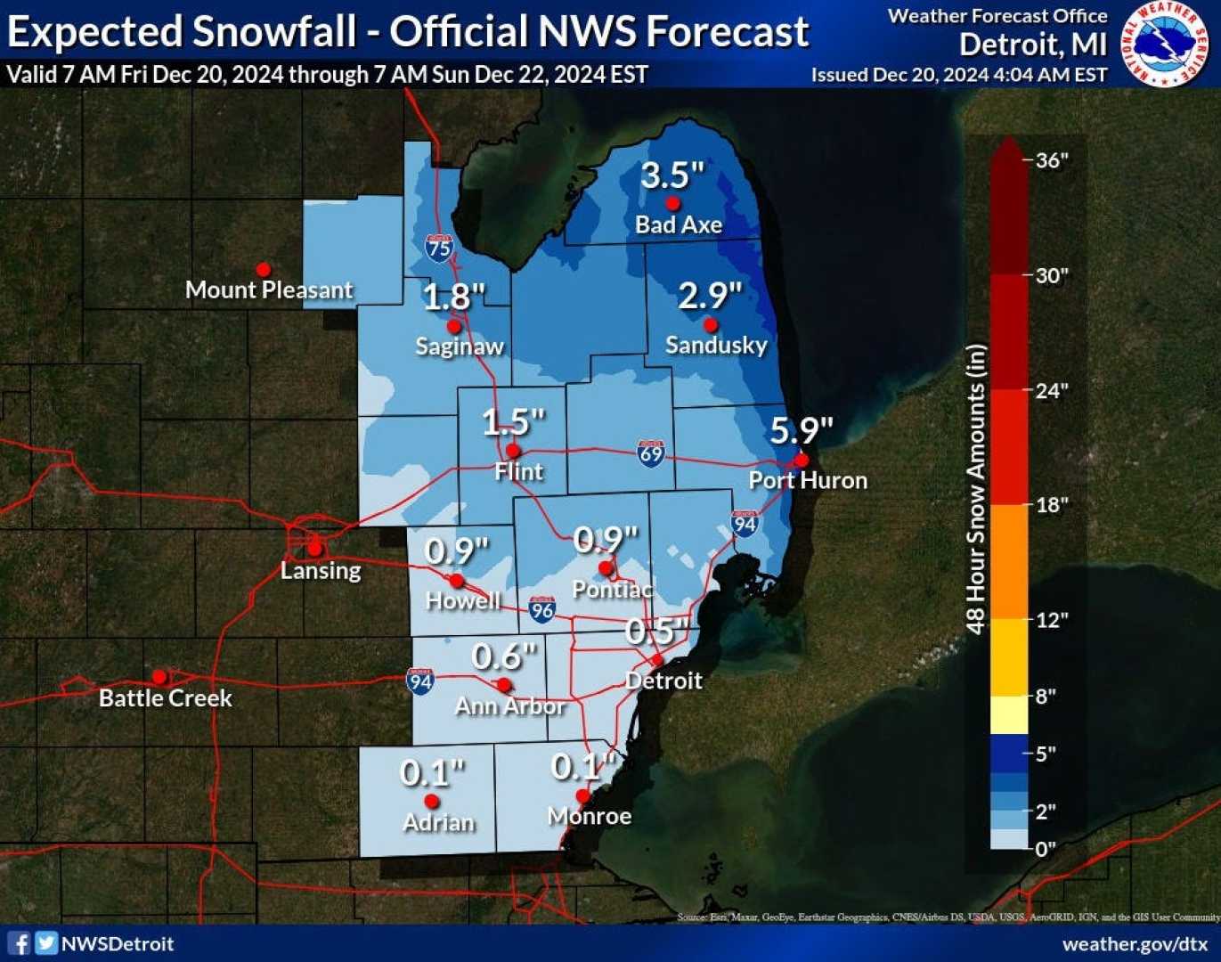
LANSING, Mich. – A Winter Weather Advisory remains in effect for a large portion of Northern and Mid-Michigan, but revised forecasts indicate a significant reduction in expected snowfall for southern Lower Michigan. The National Weather Service (NWS) issued the advisory, which is in effect from 7 a.m. to 7 p.m. Saturday, cautioning of potentially hazardous driving conditions due to accumulating snow.
n
Earlier forecasts predicted 2 to 6 inches of snow across a wide area, but MLive Chief Meteorologist Mark Torregrossa reported that a shift in the weather system has altered those expectations, particularly for counties south of Saginaw to Big Rapids.
n
According to Torregrossa, the storm’s moisture feed was disrupted by convective activity, including thundershowers and freezing rain, further south in Ohio and Indiana. This disruption weakens the moisture supply to the southern part of Lower Michigan, leading to a lighter and less consistent snowfall than initially anticipated.
n
“If you are hoping for a solid several inch snow across southern Michigan you are going to be sorely disappointed,” Torregrossa stated in an update. He indicated that while some light snow is still expected Saturday afternoon and evening, accumulations will likely be minimal.
n
The NWS Gaylord office initially stated that the worst conditions were expected near and south of M-72 on Saturday afternoon where snowfall rates could reach as high as an inch per hour. Those conditions are now less likely for the southern region.
n
The updated forecast suggests that areas including Grand Rapids, Saginaw, Bay City, Muskegon, Kalamazoo, Lansing, Jackson, Ann Arbor, Flint, and Detroit can now expect an inch of snow or less. Freezing rain is primarily expected further south, in Ohio and Indiana, according to the updated forecast.
n
In contrast, the northern half of Lower Michigan remains under the Winter Weather Advisory, with a forecast of 2 to 5 inches of snow. Counties included in the advisory are Mason, Lake, Osceola, Clare, Oceana, Newaygo, Mecosta, Isabella, Leelanau, Benzie, Grand Traverse, Kalkaska, Manistee, Wexford, and Missaukee.
n
Specific areas like Frankfort, Cadillac and Manistee are expected to be in the 4 to 6-inch range of snow accumulation. Areas like Gladwin and Houghton can expect 3 to 4 inches of snow. Two to 3 inches are expected in Gaylord, Grayling, Mio and Oscoda, the NWS said.
n
While one weather model suggests the possibility of isolated areas receiving up to 6 inches of snow from Ludington to Standish and northward through Cadillac, Traverse City, Houghton Lake and Alpena another model forecasts a lower range of 3 to 4 inches for the region.
n
Snow is still expected to begin in northern Lower Michigan around midday Saturday, and in southern Lower Michigan during the late afternoon.
n
Torregrossa acknowledged the disappointment of southern Michigan snow enthusiasts, stating, “Sorry southern Michigan snow-lovers. You’ll have to keep waiting on our first winter storm. It should happen at some point soon in the next month.”


