News
Mid-South Faces Unsettled Weather Amid Cold Temperatures
MEMPHIS, Tenn. (WMC) – An active week of weather is forecasted for the Mid-South, starting Tuesday, as three rounds of rain, accompanied by cold temperatures, will significantly impact the area.
Today’s temperatures will hover around 40 degrees with cloudy skies and a northeast wind at 5 to 10 mph. Rain is expected throughout the day as a system moves in.
Tuesdays present similar conditions, with cloudy skies and rain anticipated for much of the day, coupled with light north winds and high temperatures peaking in the mid-40s. The night will bring additional rain, particularly after midnight, as temperatures dip into the upper 30s.
Wednesday also sees cloudy conditions, with rain lingering early in the day, high temperatures reaching the mid to upper 40s, and overnight lows dropping into the lower 30s.
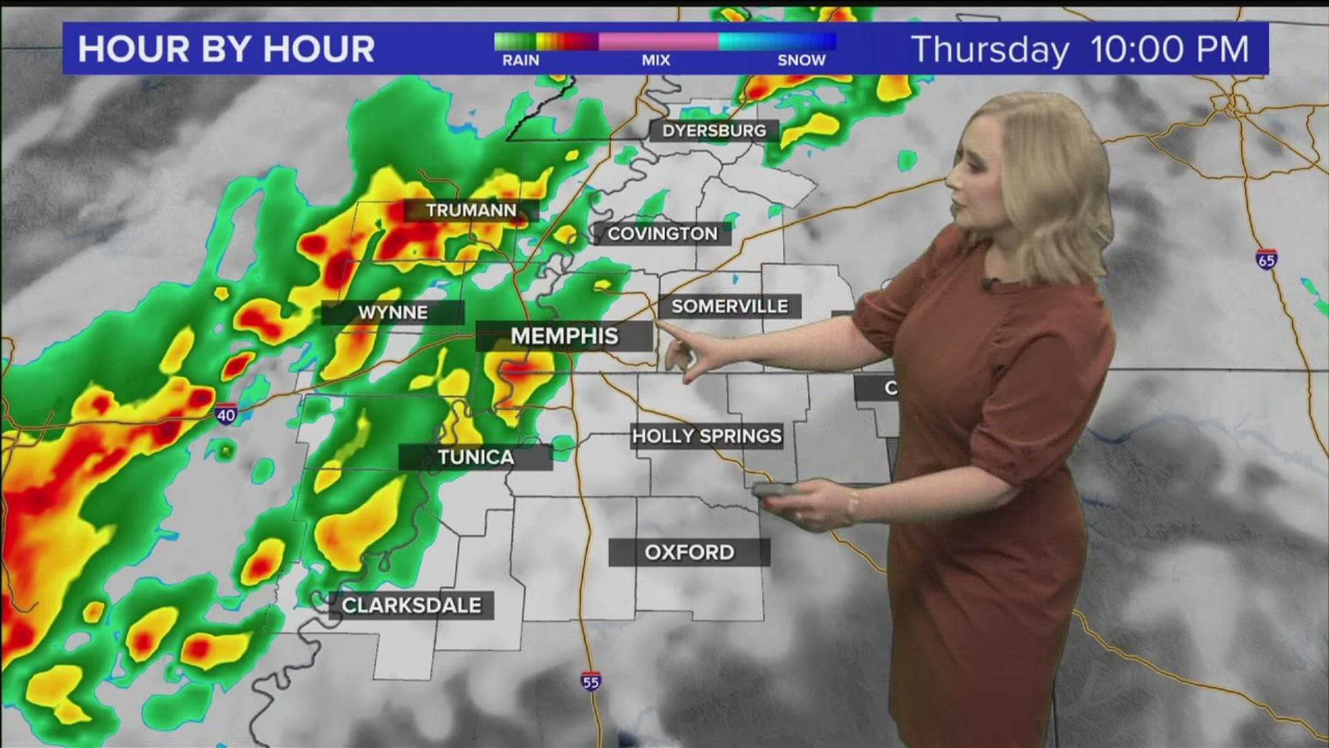
On Thursday, the weather remains mostly cloudy with highs in the lower 40s and overnight temperatures expected to fall into the upper 20s. The week will end on a slightly brighter note, with Friday set to be partly cloudy, experiencing afternoon highs in the mid-50s and overnight lows in the mid-40s.
Looking towards the weekend, Saturday forecasts heavy rain and the possibility of thunderstorms as temperatures rise to the lower 60s, while overnight lows plunge back into the lower 30s. Sunday is expected to provide a respite from the storms with partly cloudy conditions, but temperatures will fall again, yielding highs in the lower 40s and lows in the upper 20s.
Chief Meteorologist Ron Childers from ACTION NEWS 5 provided these insights and encouraged residents to stay weather-aware as conditions evolve. Childers noted, ‘While we may see a brief pause in the rain mid-week, stay prepared for the return of wet weather this weekend.’


