News
North Texas Faces Isolated Showers and Storms This Afternoon
DALLAS, Texas – Residents in North Texas are waking up to a muggy morning, with temperatures in the mid to upper 70s, similar to Sunday morning’s conditions.
According to the National Weather Service, a few areas near the Red River are slightly cooler, registering low 70s and even upper 60s in some western locations. Afternoon highs are forecasted to reach the low to mid-90s, while dew points in the low 70s may push the heat index into the upper 90s, making it feel hotter.
A complex of storms is currently approaching the Wichita Falls area and moving southeast. Although severe thunderstorm warnings have expired, isolated showers and storms remain possible west of Interstate 35W and north of Interstate 30, where there is a 20 to 30% chance of rain.
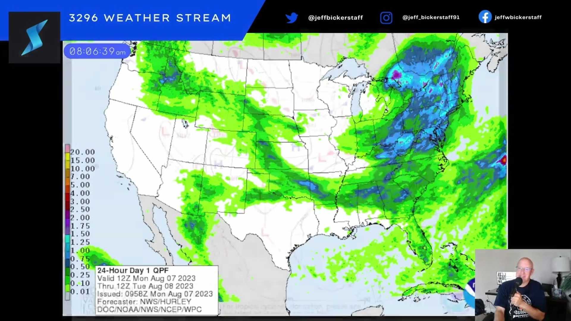
Another storm system is expected to sweep in late tonight, impacting areas west of I-35 after midnight. The National Weather Service has issued a Level 2 slight risk for severe weather across parts of North Texas, indicating that initial storms could bring gusty winds.
The storm activity is predicted to be brief, with high pressure expected to return after the weekend. This system will likely lead to a resurgence of triple-digit temperatures and dry conditions early next week.
On Sunday, rounds of storms are anticipated due to a shortwave and moisture in the atmosphere. Weather sources indicate that a complex from Oklahoma could affect North Texas by late Sunday morning.
Although the complex is forecasted to weaken, the Storm Prediction Center has issued a marginal risk for isolated severe thunderstorms, with the main threats being hail and damaging winds. High temperatures for Sunday will be in the lower to mid-90s with winds from the southeast.
Sunday night might also see additional storms, which could affect attendees of the Loud for Love benefit concert. Although the concert venue is covered, attendees should prepare for rainy conditions during their commute. Doors open at 5 p.m. with temperatures around 92 degrees and a heat index of 97.
An overnight complex will move into North Texas from Oklahoma, possibly impacting Monday morning commute with heavy rain, which is expected to dissipate by afternoon.
The typical hot and dry August forecast returns next week, with a ridge of high pressure forecasted to elevate temperatures toward triple digits. Moisture levels may keep feels-like temperatures between 100 to 107 degrees from Wednesday to Friday, urging residents to stay hydrated.


