News
North Texas Records Heat Before Cold Front Brings Sudden Chill
DALLAS, Texas — North Texas experienced record-breaking warmth this past Saturday, with a high of 88 degrees recorded at Dallas-Fort Worth Airport, surpassing the previous record of 85 degrees set in 1962.
The unseasonably warm temperatures will soon give way to a cold front moving through the region. The front is expected to cross the Metroplex between 2 p.m. and 3 p.m. Saturday, bringing gusty winds and a rapid drop in temperatures.
Matt Bishop, a meteorologist with the National Weather Service, noted that Saturday marked the end of a streak of warm, spring-like conditions in the area. “It’s only been a week into the month, but for that first week, that was like the third warmest that we’ve had on record,” Bishop said.
By Saturday evening, temperatures are forecast to fall back into the 50s. A slight chance of rain exists, with the probability of light showers estimated at 10% during the evening.
Sunday morning will bring a stark contrast, with chilly temperatures expected to linger in the 40s. Residents can expect cloudy skies and possible patchy mist throughout the day. The area is expected to remain overcast and cool, making it a perfect day for indoor activities, including watching the Super Bowl.
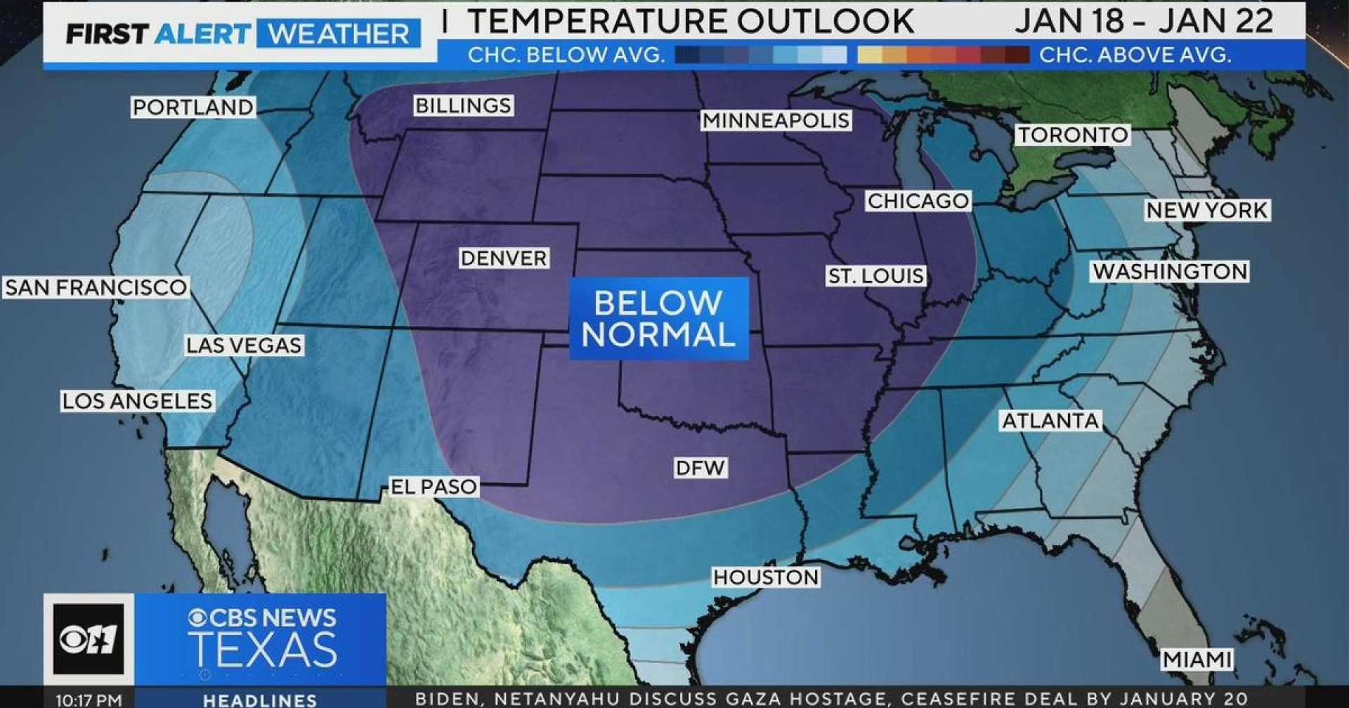
As the week progresses, North Texas will continue to experience cold and wet conditions. The combination of a strong southern branch jet stream and incoming cold air is expected to lead to cloudy weather with limited sunshine. Though temperatures won’t plunge into the freezing range before Wednesday, significant cold weather is anticipated.
Bishop added that while freezing temperatures could materialize by Wednesday night, overall conditions are not expected to be extremely severe. “None of it is expected to be brutally cold, but we won’t be likely to see much sun,” he said.
Rain is expected to return to the forecast early next week, with the highest chances for precipitation occurring from Monday night through Wednesday. The National Weather Service indicated that while rain is likely, severe weather is not anticipated.
In contrast to the warm front hitting North Texas, a powerful storm is expected to affect the Upper Great Lakes and Northeast regions. This storm is anticipated to produce moderate to heavy snowfall over the affected areas this weekend, creating hazardous travel conditions.
The extended forecast for North Texas includes a continued chance of cooler, cloudy days and rain. Monday and Tuesday will see highs only in the upper 40s and low 50s, with subsequent highs remaining below seasonal averages through midweek. Showers are expected to become more persistent as temperatures remain below normal.


