News
Northern California Braces as Strong Winter Storm Approaches
SACRAMENTO, Calif. — Northern California is preparing for a significant winter storm that is expected to bring moderate to heavy rain, heavy mountain snow, and gusty winds from Wednesday evening through Thursday. This storm, forecasted to be stronger and colder than its predecessor, will create hazardous travel conditions statewide.
The region experienced a warm start to the week, but after a quiet and sunny Tuesday, rain began to fall overnight, intensifying by Wednesday morning. Many residents noted an increase in cloud cover and breezy winds on Tuesday evening, preceding the oncoming storm.
As rain and high winds impacted the area, trees were uprooted and toppled in various locations. A Wind Advisory came into effect at 8 p.m. Tuesday and is set to expire at 11 p.m. Wednesday, with anticipated gusts of up to 55 mph in valley areas and 65 mph in the Sierra.
The heaviest precipitation is expected to fall in the Sacramento Valley and surrounding foothills, with forecasts indicating that the San Joaquin Valley could receive up to one inch of rain. Meanwhile, some areas in the Sierra and foothills may see up to three inches of precipitation.
Travel conditions are expected to deteriorate significantly as heavy snow returns to the Sierra. Snow levels, initially around 6,000 to 5,000 feet, are projected to drop to 2,500 to 3,000 feet by Thursday morning, creating potentially hazardous white-out conditions. Snowfall rates could reach 2 to 3 inches per hour at times.
Due to hazardous conditions, travel is strongly discouraged. Multiple road closures are anticipated Wednesday night as snow accumulation increases, prompting a Winter Storm Warning that began at 11 p.m. Tuesday and will expire at 11 p.m. Thursday.
Above 4,000 feet, snow amounts are expected to reach up to four feet, providing much-needed relief to the region’s snowpack. However, meteorologists caution that while this storm will boost the statewide snowpack, it will not surpass 100 percent of normal levels before the onset of spring.
As the storm system moves east by Thursday, isolated thunderstorms and lingering showers may persist. The Sierra will continue to experience steady snowfall, especially over mountain passes. Chain controls are likely to remain in effect throughout Thursday.
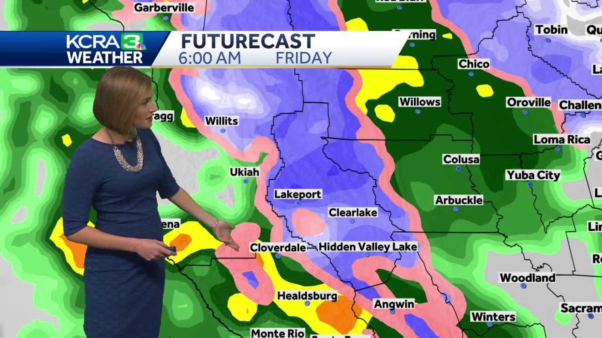
Following the initial storm, Northern California will enjoy a brief respite before another system arrives Friday afternoon. This second storm is anticipated to be slightly weaker, delivering additional rain and snow with snow levels starting at around 1,500 to 2,500 feet and rising to 4,000 to 5,000 feet by Friday evening.
Wind gusts exceeding 60 mph are expected again in the Sierra with the second storm. Rain and snow will taper off early Saturday, leading to predominantly dry conditions for the weekend, with partly cloudy skies and temperatures in the 60s.
However, the peaceful weekend will be short-lived as another storm system begins to approach Sunday night, promising another round of rain and snow into Monday. As models continue to adjust, the CBS News Sacramento‘s First Alert Weather team urges residents to stay informed about potential changes to the storm’s timing and intensity.


