News
Northern California Prepares for Rain and Snow This Week
SACRAMENTO, Calif. — Northern California is bracing for a mix of rain and snow as a winter storm approaches, with forecasts indicating significant weather impacts throughout the region this week. The KCRA 3 weather team has declared an Impact Day for the Foothills, where accumulations may reach up to an inch of rain, while higher elevations in the Sierra are expected to experience heavy snowfall.
According to Meteorologist Tamara Berg, the winter weather advisory is in effect for the Sierra until Thursday morning as conditions are set to deteriorate. Snow is anticipated to begin accumulating at elevations around 5,000 feet, with levels expected to drop to around 3,000 feet by Thursday. This could lead to snow impacting travel in areas including Twain Harte, Arnold, and Pollock Pines.
Berg forecasts that areas at Lake Tahoe could see up to 3 inches of snow, with Sierra passes expected to receive nearly 10 inches. Higher elevations, such as Kirkwood Ski Resort, might see as much as a foot over the next a couple of days. “Travelers should prepare for chain controls on major roadways due to the amount of snow expected,” Berg warned.
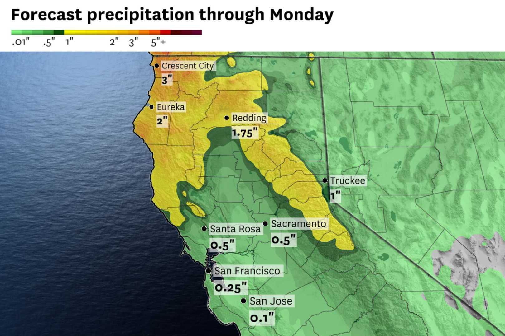
On the valley floor, including in Sacramento, rain totals are expected to be lighter, with forecasts suggesting less than half an inch. However, areas like Modesto may experience up to three-quarters of an inch. “The Foothills will receive more consistent rainfall, likely ranging from half an inch to a full inch by the end of the day,” she added.
As these conditions develop, rainfall amounts across the region will vary significantly. For example, Sacramento may see only minimal rain, while the nearby foothills are projected to be hit harder. This variation is a result of a steady plume of moisture moving in from the Pacific.
The timing of the storm will be critical, with snow and rain expected to taper off by Thursday. By Friday, clearer skies and warmer temperatures are anticipated to return to the forecast. “After a wet couple of days, we should see a break in weather moving into the weekend,” Berg said.
Motorists are urged to exercise caution, particularly in higher elevations where chain controls will be in effect. On Interstate 80, the speed limit will be reduced to 30 mph during these conditions, while Highway 50 is expected to see a top speed of 25 mph.
The weather forecast for the remaining week shows light to moderate precipitation continuing through Thursday before a gradual drying pattern takes hold heading into the weekend. “It looks like we’ll have continued weak systems moving through Northern California into the second week of March,” Berg concluded.


