News
Phoenix Weather Update: Windy Conditions Ahead of Another Storm
PHOENIX — Winds have picked up and temperatures have dropped as the latest storm system passes to the north. The Valley will experience breezy conditions today with highs in the mid to upper 80s, several degrees below normal for this time of year.
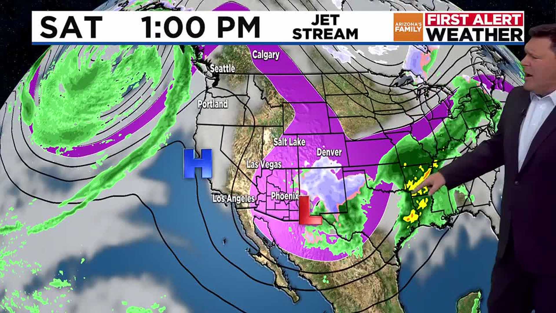
As night falls, winds will begin to die down while the storm heads east. Phoenix is expected to warm back into the mid-90s on Friday and Saturday, with overnight lows in the mid to upper 60s. Winds will increase again on Saturday, and by Sunday, gusts could reach up to 45 mph in parts of the high country, raising wildfire concerns across Arizona, particularly in the White Mountains where the Greer Fire is currently active.
In the Valley, residents can anticipate mostly sunny skies and breezy conditions on Saturday, Sunday, and Monday. Wind gusts may approach 25 to 30 mph by Sunday afternoon. As the next storm system approaches, temperatures will drop nearly 10 degrees on Sunday, and some rain is possible, especially for areas north of Interstate 40.
Stay tuned for further updates as the weekend approaches.
According to official records, Phoenix has received 1.02 inches of rain this year, which is 1.83 inches below average. The new average monsoon rainfall from 1991-2020 is now at 2.43 inches, compared to 2.71 inches in the previous average.


