News
Rain and Storms Expected in Cincinnati This Week
CINCINNATI, OHIO – As temperatures rise this afternoon, so do the chances of rain in the Cincinnati area. Isolated downpours are expected to develop later today, with more widespread rainfall anticipated on Friday.
The National Weather Service reports that a cold front moving in from the west will bring scattered showers and storms starting after 2 p.m. today, particularly affecting areas in northern Kentucky and parts of greater Cincinnati. Residents are advised to keep an eye on the radar as these storms may bring heavy rain and gusty winds.
“While we might have a fantastic first half of the day, the second half will see some hit-and-miss showers,” said local meteorologist Adam. “It’s not going to ruin your plans for tonight, but those evening dog walks should come with a weather check.”
Temperatures are expected to peak in the upper 70s today, cooling off into the lower 60s by late evening. Tomorrow, the pattern continues, with the potential for more significant rainfall as the first wave of storms arrives by the afternoon.
Friday may not be a complete washout, but the overall activity will be much more intense, particularly during evening hours. Outdoor plans, including after-school activities, may face delays due to the likelihood of storms.
Looking ahead to Saturday, conditions are set to improve as the cold front passes early in the morning, clearing most rain and storms by daybreak. The weekend promises drier air and seasonable temperatures, with highs in the mid-60s.
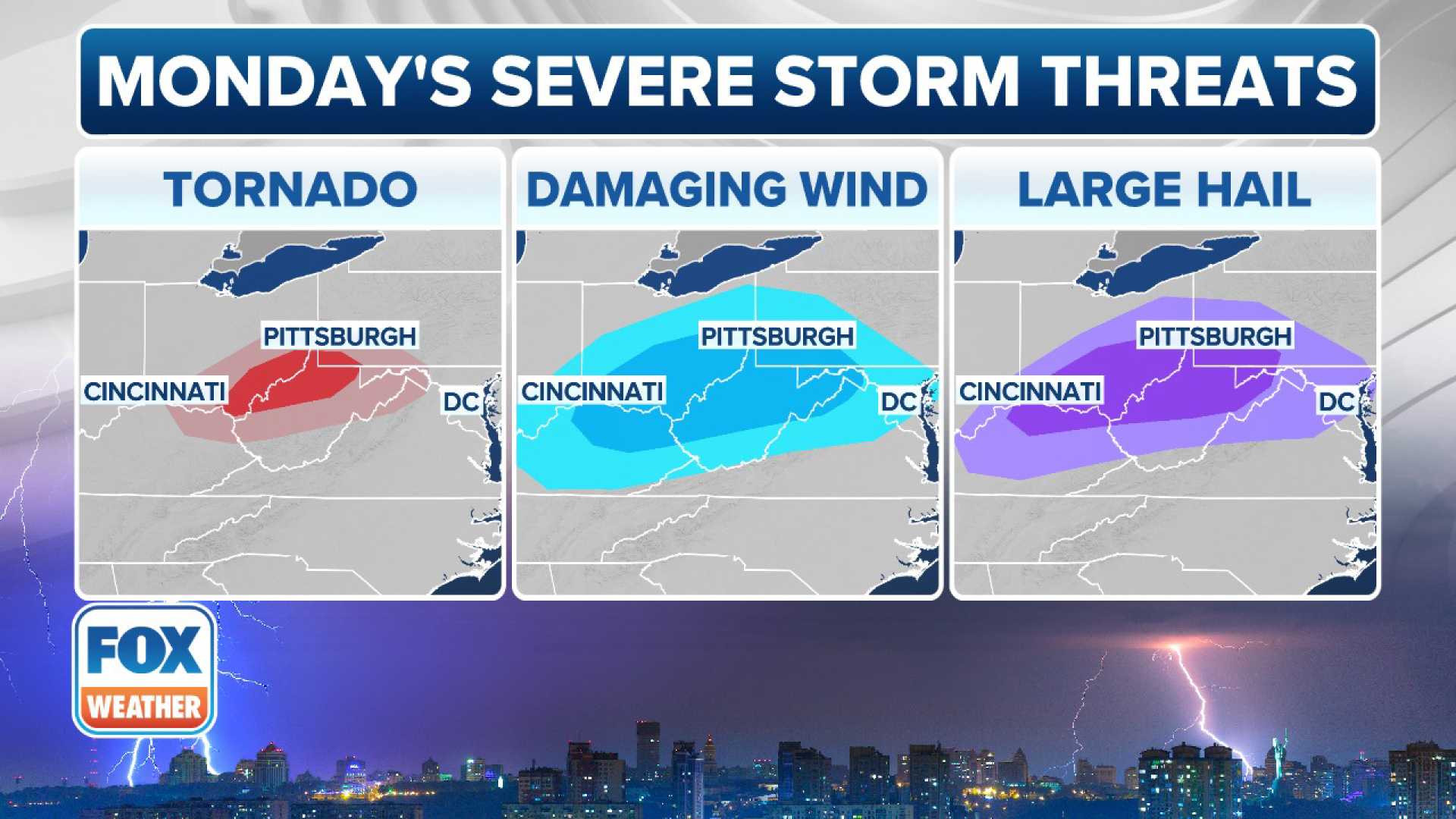
Next week brings more storm systems, with a chance for severe weather at the end of April or early May. Residents are encouraged to monitor updates from local weather services as conditions develop.
As you plan your weekend activities, it’s a good practice to hold off on planting sensitive plants, as colder air may result in frost after a few warm days.


