News
Severe Storms Cause Flash Flooding in Shreveport and Bossier City

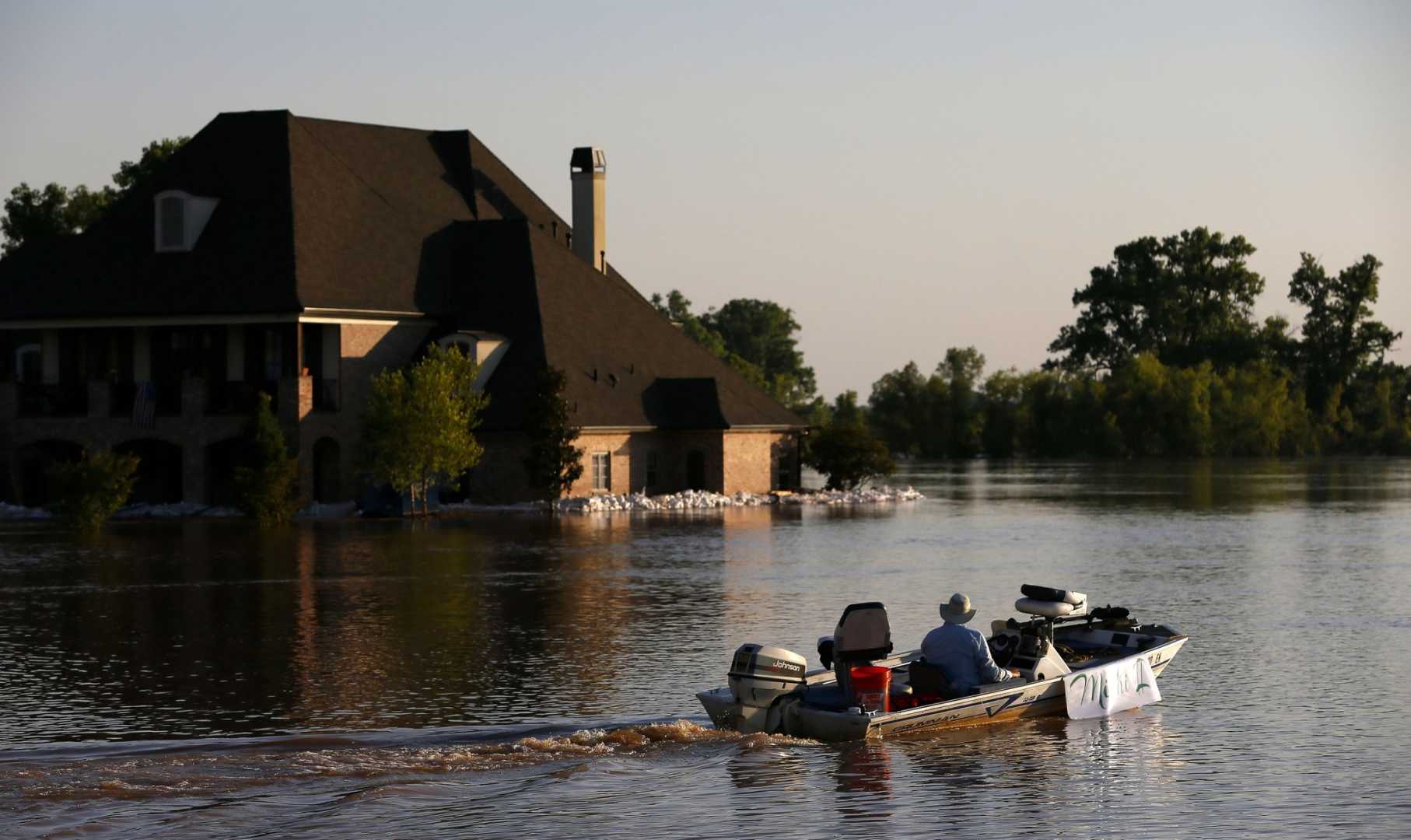
SHREVEPORT, La. — Severe storms last week led to extreme flash flooding in the Shreveport and Bossier City areas, resulting in stalled vehicles and numerous rescues. The storms overwhelmed major roadways, prompting emergency responders to act quickly.
While much of the water has receded, the Red River remains a concern. According to local reports, the river is affected not only by rainfall in Shreveport and Bossier City but also by upstream precipitation stretching into Arkansas, Texas, and Oklahoma. This upstream flow contributes to higher water levels downstream.
As of 3 p.m. on May 5, the Red River in Shreveport was measured at 25.24 feet, just below the “Action” flood stage of 26 feet. Officials from the National Oceanic and Atmospheric Administration (NOAA) warn that the river is expected to cross this critical threshold this week, potentially reaching flood stage by Thursday.
Recent videos revealed the Red River overflowing its banks at I-35, just south of the Texas/Oklahoma border. This rising water level is a part of NOAA’s forecast, which also suggests that additional rainfall this week may exacerbate the flooding situation, particularly as more storms move into the area.
The National Weather Service has issued a FLOOD WATCH for several parishes, including East Baton Rouge and Livingston, starting Tuesday evening and remaining in effect through Thursday. Forecasts predict three to five inches of rain, with some areas receiving up to 10 inches, increasing the risk of flash flooding.
In addition to the flood watch, a TORNADO WATCH is in effect for the same regions until 1 a.m. Wednesday, indicating conditions are favorable for severe weather, including tornadoes. Residents are advised to stay alert and take safety precautions.
With thunderstorms expected to linger into Wednesday morning, the potential for localized flooding remains high, especially in urban and poor drainage areas. Anyone traveling should exercise caution around flooded roads. The National Weather Service advises against driving through floodwaters.
As rainfall continues throughout the week, officials encourage everyone to monitor local forecasts for updates, as conditions can change rapidly. The community is urged to remain prepared for significant weather impacts over the coming days.


