News
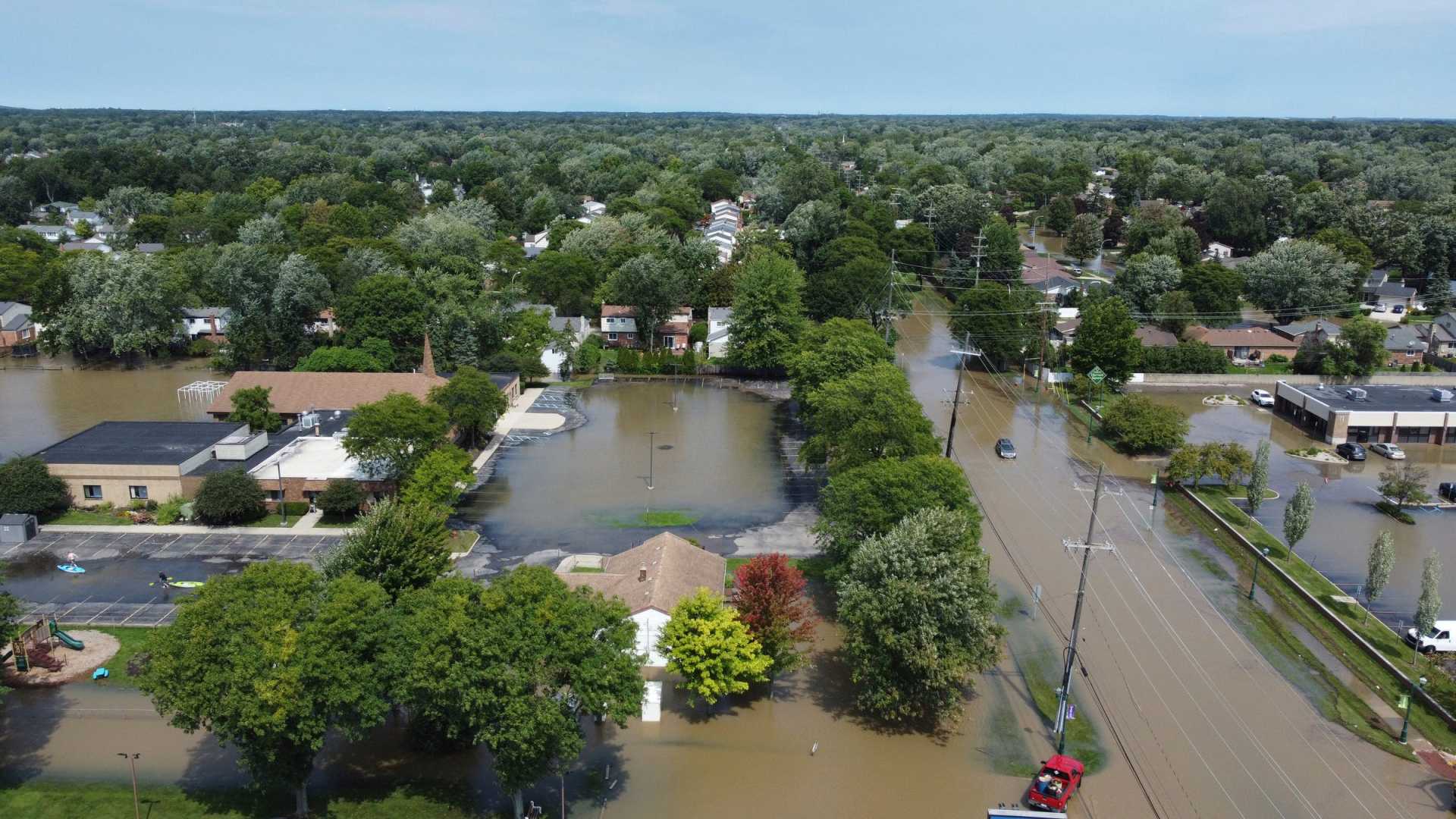
Severe Storms Cause Flooding Across Southeast Michigan

DETROIT, Mich. — Strong and slow-moving storms have caused significant flooding across Southeast Michigan, prompting flash flood warnings in several areas. The warnings, which affected southwestern Lapeer, northeastern Oakland, and northern Macomb counties, were lifted as conditions improved late Friday evening.
A flash flood occurs quickly due to heavy rainfall, and this storm brought intense rain at rates between 1 to 3 inches per hour. By 7 p.m., up to 3 inches had fallen, and meteorologists warned that more rain could still be on the way.
Though the warnings have ended, residents are cautioned to remain vigilant. Streets, sidewalks, and low-lying areas may still be submerged, and officials advise against walking or driving through floodwaters due to their deceptive depth.
“Just a foot of moving water can sweep away a vehicle,” a meteorologist warned. “It’s important to turn around and avoid risky situations.” People are also urged to stay out of flooded basements until water levels subside and electricity is safely disconnected.
Looking ahead, Saturday may bring only a few sprinkles in the morning, but mostly cloudy skies are expected to clear, giving way to sunshine. Early morning lows will range from 45 to 50 degrees, with afternoon temperatures reaching the mid-50s.
Winds will be brisk, coming from the north-northwest at 10 to 15 mph, with gusts up to 30 mph. By Saturday night, temperatures will drop to around 40 degrees under partly cloudy skies.
Sunday’s forecast shows mostly sunny conditions with highs in the lower to mid-60s. Daytime temperatures will warm back into the lower-70s on Monday and near 80 degrees on Tuesday, although additional showers and storms could return Tuesday.
Residents are reminded to download the 4Warn weather app for the latest updates. The app is available for both iPhones and Android devices.


