News
Severe Storms Hit North Carolina with Hail and Flash Flood Warnings
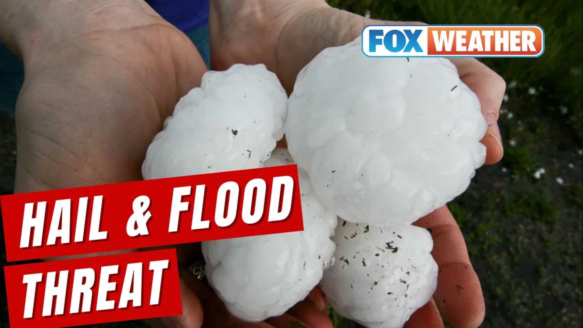
GREENVILLE, S.C. — Some severe storms moved through North Carolina on Thursday evening, bringing high winds and large hail. Reports indicated that areas like Asheville experienced golf ball-sized hail, with quarter-sized hail reported in locations such as Rutherford County.
The National Weather Service issued a severe thunderstorm watch for the Piedmont Triad region, where damaging winds and localized flooding were anticipated due to intense downpours. Chris Justus, a local meteorologist, warned, “This isn’t your typical spring storm. This is the kind of hail that gets your attention.”
The Storm Prediction Center identified a rare “hatched” risk zone in the area, indicating hail over two inches in diameter is possible. This size of hail can cause significant damage to vehicles and property.
The storms began to move into the Upstate between 9 p.m. and midnight, with the strongest winds and hail expected earlier in the evening. Justus noted that while tornado risks were low, they were not completely off the table.
As the storms approached, residents were advised to take precautions. “Have a safe place to shelter tonight—away from windows, and move your car to cover if you can,” said Justus. “Turn on alerts on your phone so you’re notified.”
In addition to the severe hail threat, ongoing rain from the storms created a flash flood warning in Wilkes County, where rainfall totals were already hitting up to three inches. A further round of storms was forecast for Friday afternoon with strong winds and a slight risk of severe thunderstorm activity continuing through the weekend.
As of now, residents are encouraged to stay updated on the latest weather developments and remain cautious of changing conditions.


