News
Severe Storms Possible Tonight in Tri-State Area
CINCINNATI, Ohio — The Tri-State area is under a Severe Thunderstorm Watch as strong storms are expected this evening. The National Weather Service (NWS) has issued this alert until 10 p.m.
The latest forecast indicates that damaging wind gusts, large hail, isolated tornadoes, and flash flooding are all risks tied to today’s system. The enhanced risk of severe storms now covers most of the Tri-State region.
The most intense storms are forecasted to hit between 6 p.m. and midnight, with peak activity likely occurring around 7-8 p.m. in downtown Cincinnati. The timing has shifted slightly as weather models have sped up and aligned with peak daytime heating, which should help sustain the storms as they move across the area.
Weather models have suggested a high likelihood of storms tonight, leading meteorologists to believe several severe thunderstorm warnings will be issued. Due to sufficient spin in the atmosphere, there may even be a tornado warning for parts of the Tri-State. However, damage from storms could be sporadic due to strong wind gusts.
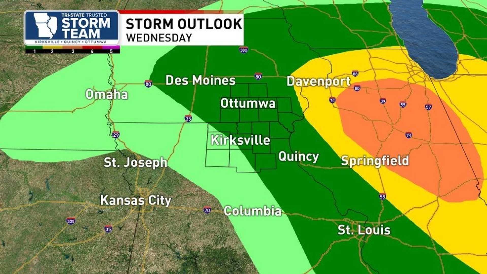
Looking ahead, Wednesday is forecasted to be mostly cloudy and humid, with afternoon and evening storms likely, reaching a high of 86 degrees. Overnight, a few showers are expected, with a low near 69 degrees. Thursday will bring isolated showers and storms, with a high of 80 degrees, and clearer skies on Thursday night with a low around 64 degrees.


