News
Severe Storms Threaten Indiana with Tornado Watches Issued
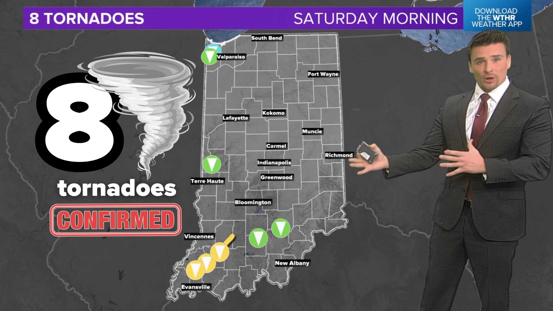
INDIANAPOLIS, Ind. — Tornado watches were issued late Friday night for central and southern Indiana as a strong storm system approached the state. The National Weather Service has warned residents of the potential for severe weather, including the possibility of significant tornadoes.
The tornado watches, which are in effect until 4 a.m. ET, cover several counties including Benton, Clay, Daviess, Fountain, and Vermillion, among others. Notably, the watch designated as ***PARTICULARLY DANGEROUS SITUATION*** spans southwestern Indiana, indicating a heightened confidence level for significant tornadoes (EF-2 or stronger), marking the first such warning since November 2013.
Along with Indiana, numerous counties in Illinois are included in the tornado watch. A separate severe thunderstorm watch will remain active until 9 a.m. ET for northern Indiana.
The U.S. Storm Prediction Center has indicated that a few tornadoes, along with scattered hail up to the size of tennis balls, are likely. Wind gusts are anticipated to reach up to 80 mph, posing additional hazards to areas affected by the storm.
Officials urge residents to stay tuned to local weather updates and have emergency plans in place as the storm system develops. “Everyone should remain vigilant and prepared for potential severe weather and power outages,” a spokesperson from the National Weather Service advised.
As the storms continue to move through the region, forecasts suggest that non-severe storms could lead to heavy rain and gusty winds throughout the weekend. Emergency services and local meteorological teams are on high alert as they monitor the situation and provide guidance to residents.


