News
Severe Thunderstorm and Tornado Warnings Issued for Nebraska and Iowa
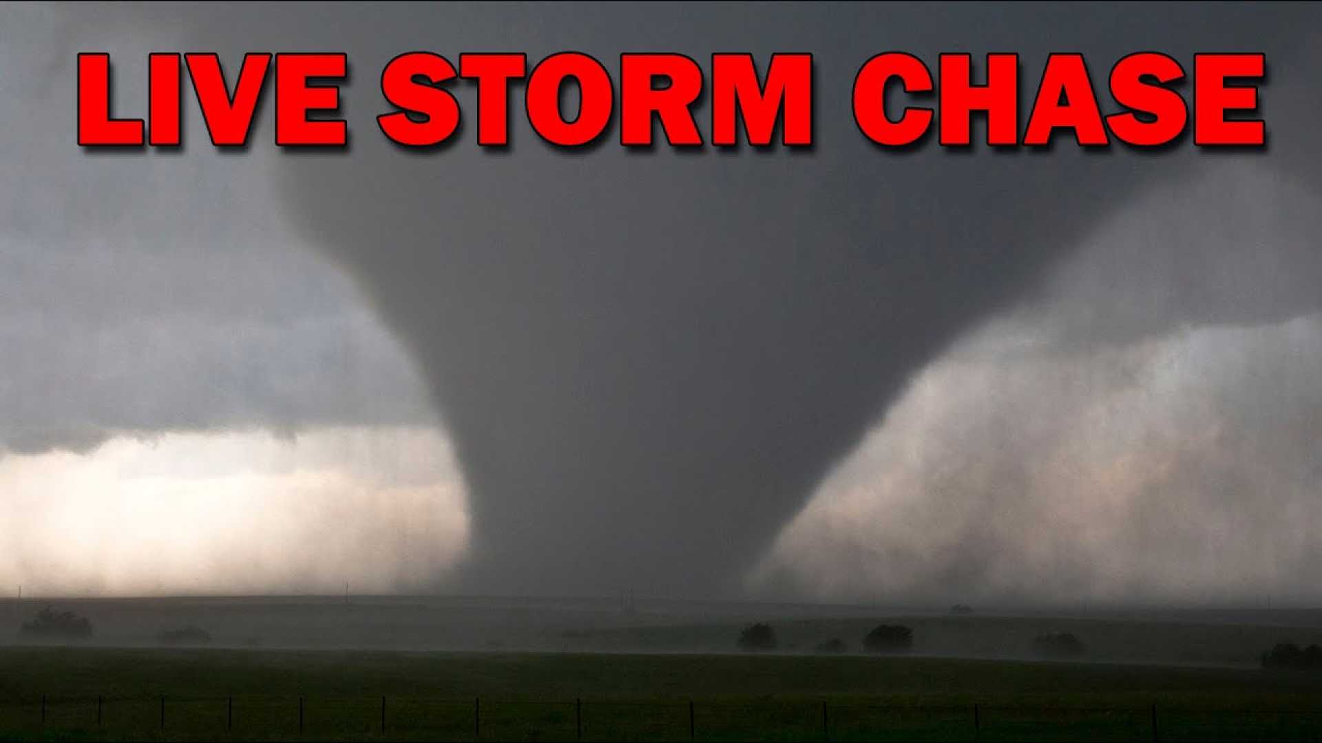
OMAHA, Nebraska — A severe thunderstorm warning has been issued as storms sweep through Nebraska and Iowa on Thursday, April 24, 2025. The National Weather Service has specifically warned residents in eastern Douglas County and southwestern Pottawattamie County of a tornado possibility until 5 p.m.
In addition to the tornado warning, the Omaha area is under a severe thunderstorm warning. This alert was issued for multiple counties, including Lancaster, Saline, and Seward, lasting until 5:15 p.m. A flash flood warning has also been announced for southeastern Douglas County and west central Pottawattamie County until 7:45 p.m.
Earlier in the day, a tornado warning was issued for northwestern Saline County; however, it expired at 3:45 p.m. According to weather forecasts, areas within Nebraska may see rainfall amounts ranging from 1 to 2 inches by Friday morning, generating concerns about flooding.
As storms continue to develop, Omaha’s Weather Leader has identified Monday, April 28, as a potential “severe weather day.” The Storm Prediction Center has estimated a 15%-30% chance of severe weather for the area, which may include tornadoes.
Forecasters are advising residents to stay updated on weather alerts and conditions, especially with the potential for severe storms looming over the weekend. Downloading the KETV mobile app can provide real-time weather updates.


