News
Severe Thunderstorm Watch Issued for Cincinnati Region Today
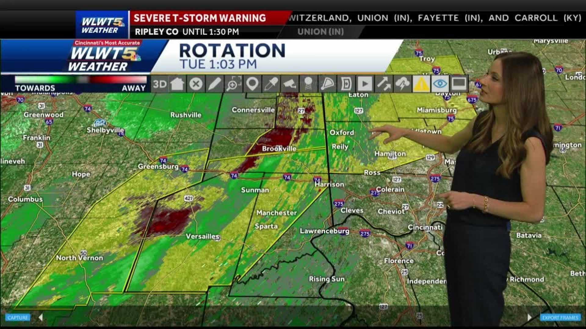
CINCINNATI, Ohio — A severe thunderstorm watch has been issued for parts of the Cincinnati region until 7 p.m. today, May 1, 2025, as rounds of rain and storms are expected throughout the day.
The watch indicates a heightened risk for damaging winds, hail, flooding rains, and the possibility of tornadoes. Stronger storms are anticipated mainly during the afternoon, but showers are likely to follow right after school and in time for the evening commute.
While the severe weather threat is expected to diminish by Thursday evening, rain will continue intermittently through midnight. Friday will bring another day of scattered showers, with a cluster of storms expected by mid-afternoon.
Local events, such as the Reds game and the 50 West Mile for Flying Pig weekend, may be affected by the rain showers Friday evening. The weekend weather also looks bleak, as the system stalling out may bring lingering rain chances for runners participating in various races.
Despite a generally low threat for lightning, there remains potential for a storm on Saturday, with many events running in wet conditions. Sunday will see off-and-on rain showers, continuing the pattern of inclement weather.
The community is urged to stay updated with local weather reports and heed any warnings that may arise throughout the day.


