News
Severe Thunderstorm Watch Issued for Western New York
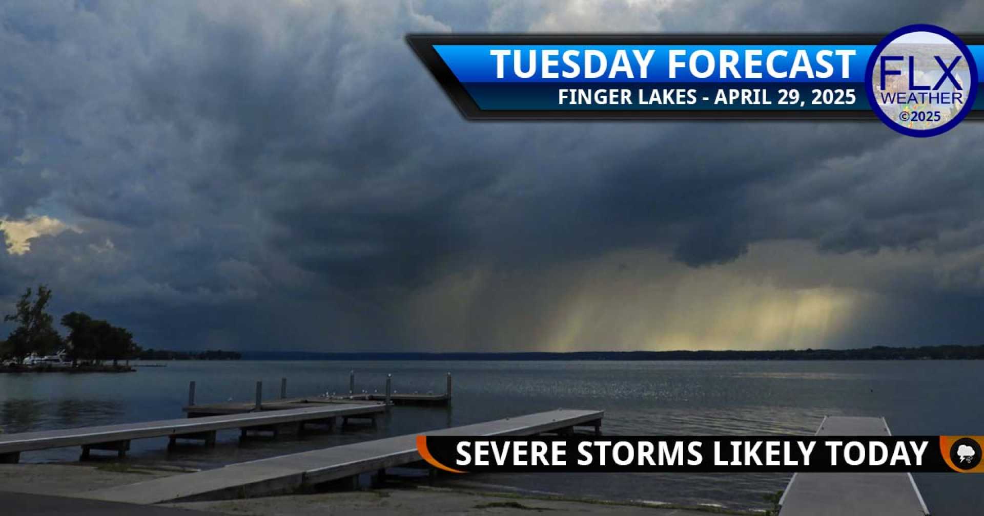
BUFFALO, N.Y. — A Severe Thunderstorm Watch has been issued for all of Western New York, including Potter and McKean counties in northern Pennsylvania, until 10 PM Tuesday night. This warning comes as a strong cold front approaches the region.
The National Weather Service is monitoring the area closely, predicting active weather this afternoon with potential thunderstorms from 1 PM to 9 PM. Ahead of the front, temperatures are expected to rise into the mid to upper 70s, accompanied by increased cloud cover and breezy conditions.
The Storm Prediction Center has noted a 30% risk for damaging winds of at least 60 mph, a 15% risk of large hail, and a low 5% chance for brief tornado spin-ups across the Southern Tier. Communities south of Buffalo, including Batavia, are under a higher enhanced risk for severe weather.
This is not the first round of severe weather this week. Earlier reports indicated quarter-sized hail in areas such as Holland, Warsaw, and Colden, along with wind damage affecting trees and power lines in Olean and Attica. These severe thunderstorms are expected to continue as the cold front pushes through.
As thunderstorms move out of the area tonight, cooler temperatures are anticipated, dropping into the 40s. Wednesday is expected to bring dry but cooler weather. For the remainder of the week, a mix of rain and unsettled weather conditions are projected into the weekend, with temperatures remaining lower than usual.


