News
Severe Thunderstorm Watch Issued for Brazos Valley Amid Tornado Threat
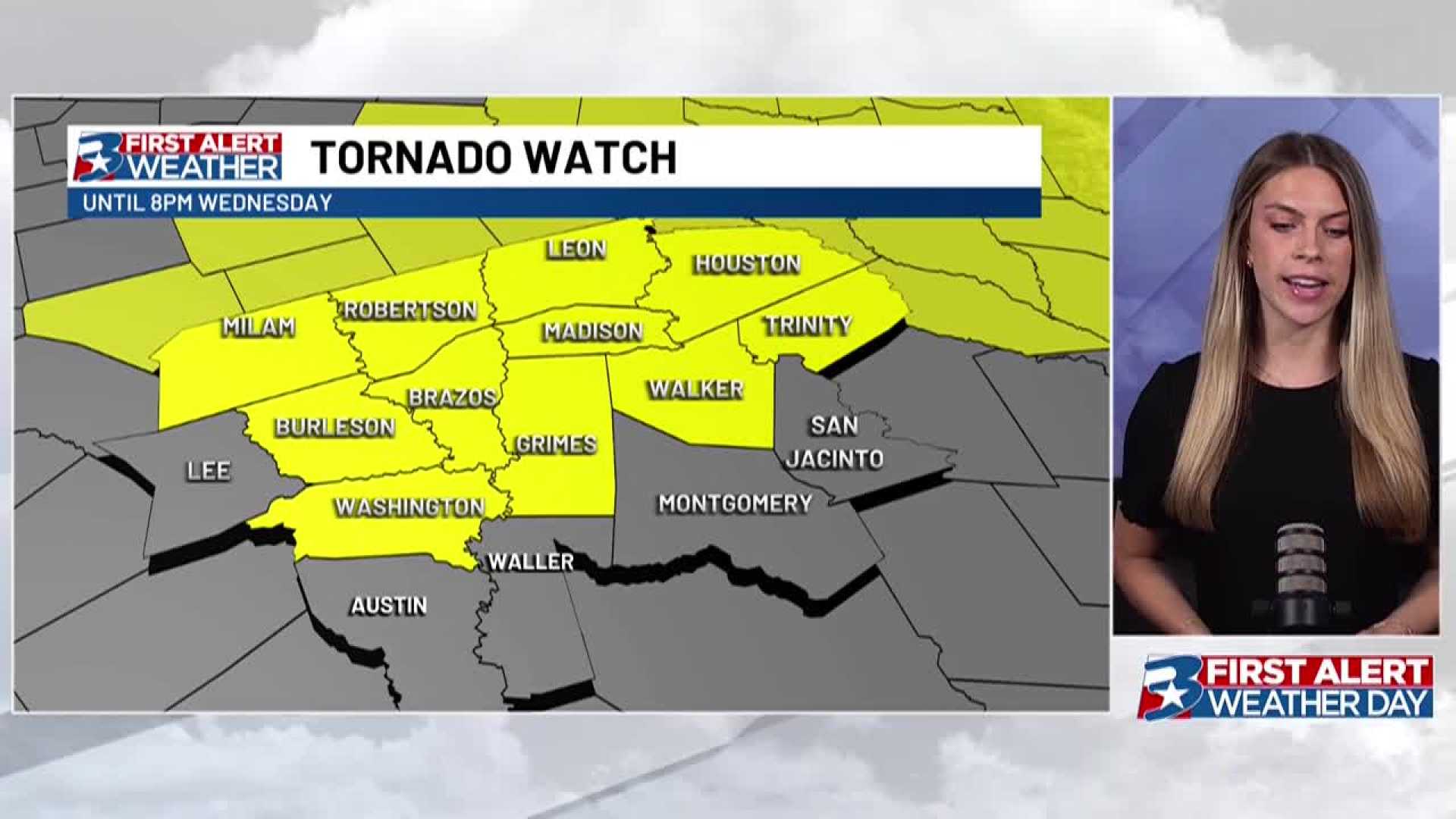
BRYAN, Texas (KBTX) — A Tornado Watch is in effect until 4 p.m. Tuesday for the Brazos Valley as severe thunderstorms are forecasted. The National Weather Service warns that the tornado threat will increase throughout the morning.
This morning, heavy downpours are likely, with midday thunderstorms expected to continue into the early afternoon before tapering off by late afternoon. The main concern includes potential flooding, especially in areas that might see 1 to 3 inches of rain, with isolated totals reaching 4 to 5 inches.
“While some storms could produce small hail and gusty winds, flooding is the primary concern,” a meteorologist stated. Additionally, a Severe Thunderstorm Watch is active to the southwest of the Dallas–Fort Worth area until 10 a.m.
“This afternoon, the risk for severe weather extends from Dallas-Fort Worth southeastward,” he added, noting possible hail and high winds in some areas. Residents are advised to stay alert and turn around when encountering flooded roads.
The day may start with fog or drizzle on Wednesday, but rain chances will significantly decrease, allowing for afternoon sunshine. Chris Cooley, another local meteorologist, expects that the upper-level system will gradually move away, leading to lower rain probabilities through Friday. The weekend is expected to bring sunny and dry weather.
Citizens are encouraged to monitor local alerts and utilize weather apps for timely information regarding any updates or warnings that may arise throughout the day.


