News
Severe Thunderstorm Watch Issued for Baltimore Region Amid Rising Temperatures
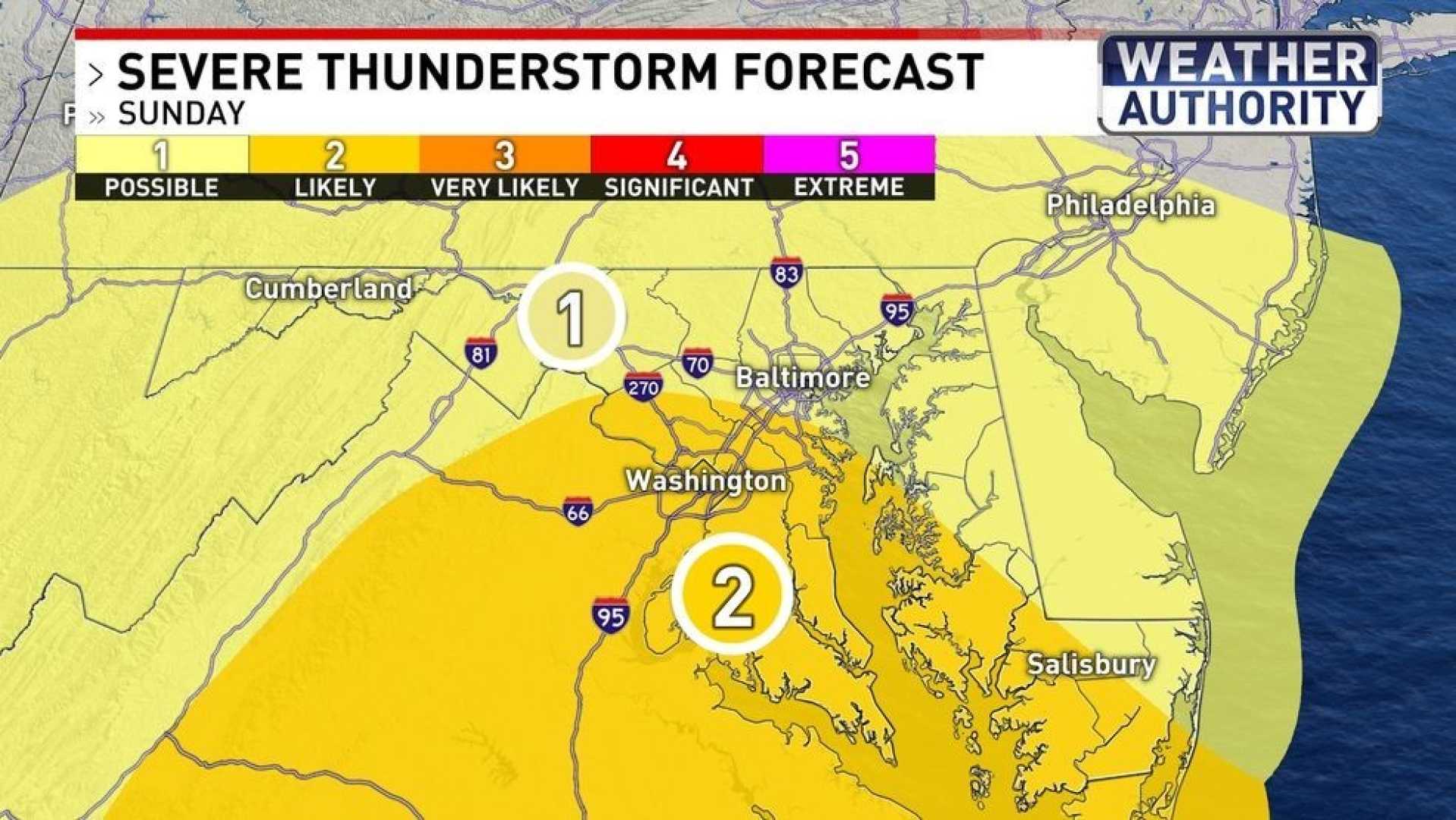
BALTIMORE, Md. — The National Weather Service has issued a Severe Thunderstorm Watch for the Baltimore Metro area, effective until 7 p.m. Wednesday. This comes as warm and humid conditions persist across Maryland due to a warm front that moved through the area last night.
Temperatures reached 81 degrees at BWI Marshall Airport, but humidity has pushed the feel-like temperature higher. Dew points have surged into the mid-70s, creating a tropical air mass primed for thunderstorms. Meteorologist Tony Pann indicated that scattered showers and thunderstorms could develop throughout the afternoon and into the evening.
“The atmosphere is set up to produce some storms, especially between 3 and 5 p.m.,” Pann said. “If you are outside during this time, be prepared for locally heavy rain and potential severe weather.”
A Flood Watch is also in effect for the Baltimore Metro area, which warns that storms may deliver heavy downpours, and some areas could face flooding hazards. Residents are advised to keep an eye on the weather updates as the storm system approaches.
The Storm Prediction Center warns that while the chance for tornados is low, damaging winds and hail are likely with the storms expected throughout the day. After the evening storms, residents can expect quiet conditions overnight before another cold front arrives Thursday, bringing a slight chance for additional severe weather.
As temperatures rise throughout the week, hitting the mid to upper 90s with high humidity, officials emphasize the importance of being alert for changing weather conditions. Power outages may occur due to severe storm conditions, with Baltimore Gas and Electric urging customers to report issues immediately.
After the stormy weather expected for Thursday, a return to clearer skies and lower humidity is anticipated by Friday, marking a change in conditions as summer officially begins.


