News
Severe Thunderstorm Watch Expired in Iowa Amid Weather Changes
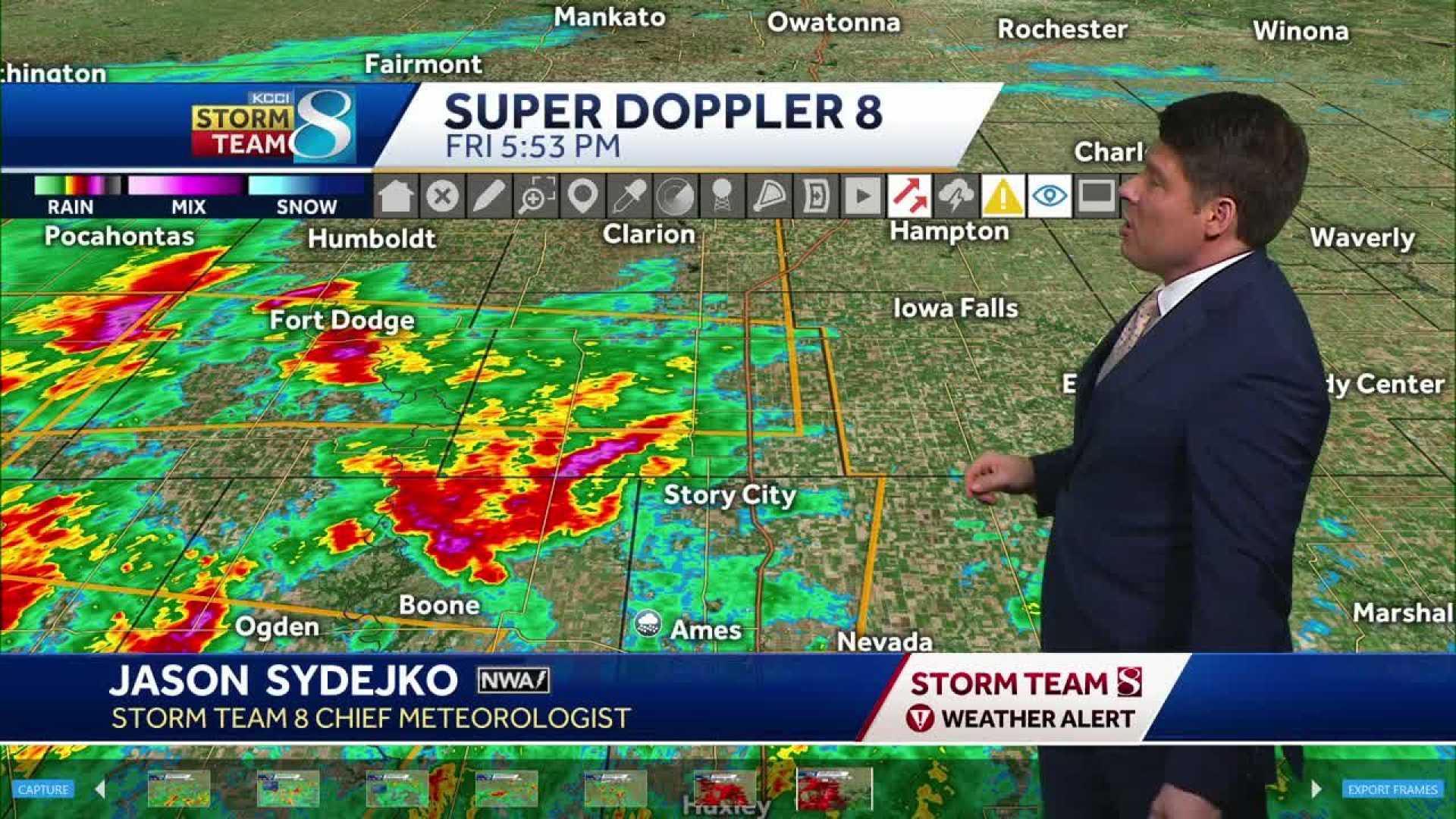
CEDAR RAPIDS, Iowa (KCRG) – A Severe Thunderstorm Watch that affected parts of eastern Iowa has now expired, though remnants of the storm are still being felt in the region. As of late Friday evening, temperatures across the area are expected to dip into the 40s overnight, with minimal fluctuations anticipated on Saturday.
While the clouds remain thick over the region, some breaks are possible. Scattered showers may occur, likely including a mix of rain and snow flurries, particularly in areas that see cooler temperatures. Weather experts warn that these flurries could last into Saturday night.
In contrast, residents can expect sunnier skies on Sunday, with temperatures projected to climb into the 40s following a frigid morning starting in the 20s. Meteorologists are optimistic about a significant warming trend beginning Monday, where highs will reach into the 60s, making outdoor St. Patrick’s Day celebrations both bright and comfortable amidst breezy conditions.
Looking ahead, Tuesday promises even warmer temperatures, with forecasts indicating highs could approach the 70s. This warmth, however, may be short-lived as a new storm system is predicted to arrive midweek, bringing further changes.
On Wednesday, expect rain as this storm makes its entrance, with a chance of colder air following closely behind. This shift could lead to a potential snow mix by Wednesday evening, especially if the temperature drops after sunset, creating a possibility for some accumulation.
After the storm passes, temperatures are projected to cool but remain within seasonal norms for mid-March, setting the stage for a dynamic weather week ahead. Meteorologists are advising residents to remain alert for changing conditions as these systems move through.
Copyright 2025 KCRG. All rights reserved.


