News
Severe Thunderstorms Expected in New York City, Heat Wave Follows
NEW YORK CITY – New York City is bracing for severe thunderstorms Thursday afternoon, which may bring damaging winds, heavy rain, and potentially scattered tornadoes. The storms are expected as a cold front approaches the region.
Weather conditions will heat up with temperatures nearing 90 degrees Fahrenheit and high humidity. According to FOX 5 NY meteorologist Audrey Puente, the storms are likely to develop between 3 and 4 p.m. and continue until sunset. “Watch out for scattered severe thunderstorms today,” she warned. “The primary threat will be damaging wind, but we could see rounds of heavy rainfall and small hail, too.”
The National Weather Service (NWS) has issued an enhanced risk for severe storms across northeastern New Jersey, the Lower Hudson Valley, and New York City. This area usually experiences such severe weather only once or twice a year.
Most of New Jersey is currently under an enhanced risk category, indicating a high likelihood of severe weather, which includes damaging wind gusts and hail.
Heavy rainfall could cause localized flooding in certain areas, with gusts exceeding 58 mph. The NWS noted that the main threat will come from organized lines of thunderstorms between 4 and 10 p.m.
No formal alerts have been issued yet, but the NWS did suggest that a severe thunderstorm watch may be needed as conditions develop.
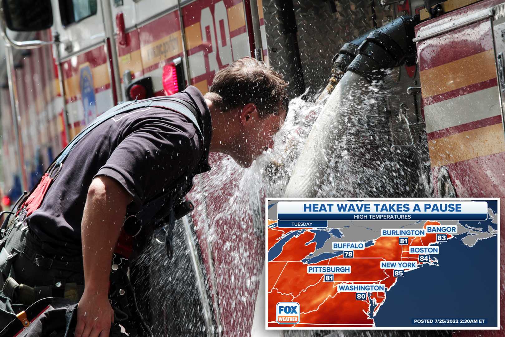
Looking ahead, a potential heat wave is forecasted for the following week, with temperatures expected to reach the upper 90s. The heat wave could last from Sunday through Thursday, making it feel even hotter due to high humidity. Historically, New York City has only recorded temperatures at or above 100 degrees three times in June.
Overall, while severe storms may cause disruptions to evening commutes and air travel, a pleasant change in weather is expected by Friday.


