News
Severe Thunderstorms and Heat Wave Expected in New Jersey
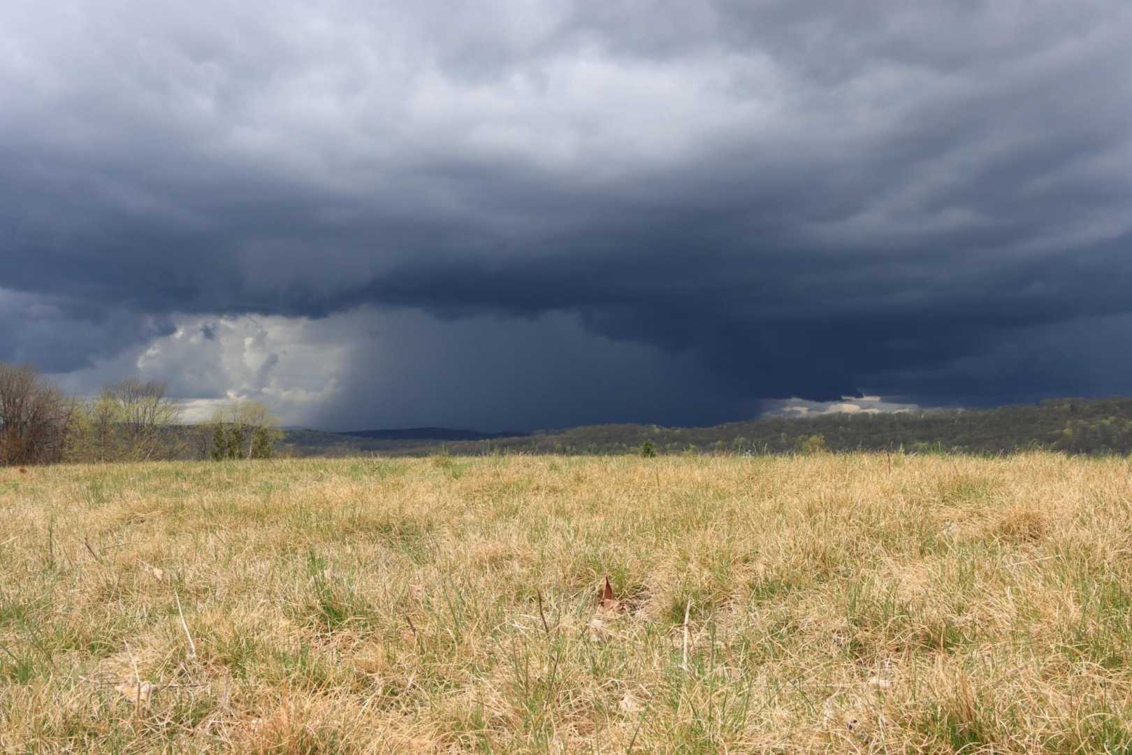
Trenton, New Jersey — New Jersey is bracing for severe thunderstorms on Thursday afternoon, accompanied by high temperatures and humidity levels. The National Weather Service (NWS) warns that isolated tornadoes could develop as instability in the atmosphere increases.
The threat of severe storms is higher than usual for this time of year, with an “enhanced risk” classification from the NWS. This level indicates a significant likelihood of damaging winds exceeding 58 mph, substantial rain, and the possibility of hail and tornadoes.
“The anticipated peak timing for the thunderstorms is between 4 p.m. and 10 p.m.,” said Brian P. from the Mount Holly weather office. Thunderstorms may affect the evening commute and air travel as they roll across the state.
Heat advisories are currently in effect for Burlington, Camden, Gloucester, and Mercer counties until 8 p.m. Thursday. The combination of heat and humidity could lead to heat indices from 98 to 100 degrees, making it feel particularly oppressive.
Forecasters project that after the storms clear, temperatures will drop slightly through the weekend, providing relief from the extreme heat. However, another heat wave is expected to settle in by Sunday, with temperatures potentially reaching into the low 100s early next week.
Residents are urged to stay vigilant as conditions evolve throughout the day. If severe weather warnings are issued, it’s crucial to seek shelter and remain indoors until the storm has passed.
“Stay weather-aware, and prepare for changing conditions,” advised meteorologist Linda Q. A proactive approach ensures safety amidst the volatile weather.


