News
Severe Thunderstorms Hit Northeast Florida, More Expected Friday
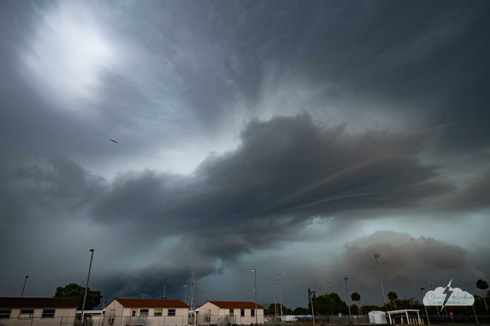
JACKSONVILLE, Fla. – Strong thunderstorms are sweeping through Northeast Florida this evening, bringing gusty winds, hail, and heavy rainfall.
The storms are moving from the southwest to the northeast, affecting areas such as Middleburg, Oakleaf, Buckman Bridge, Ortega, and downtown Jacksonville. These regions should prepare for showers and rumbles of thunder.
Forecasters predict that the severe weather will continue into the night, with heavy rain and hail posing the primary threats to Jacksonville and surrounding counties. Although there is a low chance of isolated tornadoes—around 2 percent—quick, unexpected spin-up tornadoes may occur as the storms progress.
Looking ahead, another round of storms is expected as early as late morning on Friday. These storms are forecast to move toward Jacksonville through the afternoon. Rain chances will increase, making Friday another active weather day for the area.
After a stormy end to the week, Saturday morning may see leftover showers, but cooler and more seasonable temperatures will follow. The extended forecast suggests a drier period heading into the weekend and most of next week, with highs settling back into the upper 80s and low 90s.
Residents are encouraged to share any storm damage or weather-related photos and videos through SnapJAX.


