News
Severe Thunderstorms Threaten Eastern North Carolina Tonight
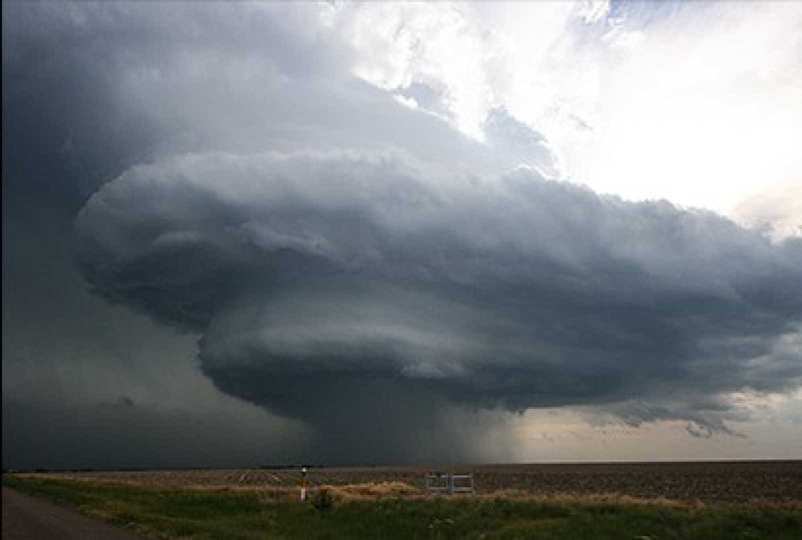
WINSTON-SALEM, N.C. — Severe thunderstorms are forecasted to impact Eastern North Carolina tonight, with added risks including quarter-sized hail and damaging winds. The storms are expected to develop after 3 PM and persist until about 9 PM, with residents advised to remain cautious.
The National Weather Service has issued a Level 1 Marginal Risk for most of Eastern North Carolina and a Level 2 Slight Risk for counties along and north of the Albemarle Sound. The main threats associated with these storms are hail and high winds, which could reach gusts of 50 to 60 mph.
Weather patterns suggest that a line of thunderstorms is moving from the Foothills toward the Triad region. As conditions worsen, significant rainfall is anticipated, with totals expected to reach between 1 to 3 inches in some areas, raising concerns for flash flooding.
In addition to the storms, there have been reports of wind damage in Moravian Falls, where several trees were downed earlier today. Quarter to golf ball-sized hail was also reported in Asheville, with similar sized hail possible as the storms progress into the Triad later tonight.
Officials are urging residents to park vehicles under cover to prevent damage from hail. Those living in northern Yadkin and parts of Surry are especially advised to stay aware of the weather conditions, as the most severe storms could affect these regions first.
If you are in the path of these storms, the advice is clear: stay alert and have a way to receive weather updates. As the storm system moves in, intermittent thunderstorms will continue throughout the evening, with a promise of calm weather by Friday morning.


